Enable Location

We need your location to show you interesting places around you

Discover nearby places

Find interesting locations and hidden gems around you

Precise directions

Get accurate directions and distances to places

Your location is never shared with other users. It's only used when you tap the location button.

Carbon County

Log in to your account

Start exploring — it's free

Trusted by 61,365 travelers worldwide

Continue with Google
Continue with Apple
or

We will send you a code to connect

By continuing, you accept our Terms and Conditions and our Privacy Policy

Check your inbox

We've sent a pincode in your inbox. Please enter the code below.

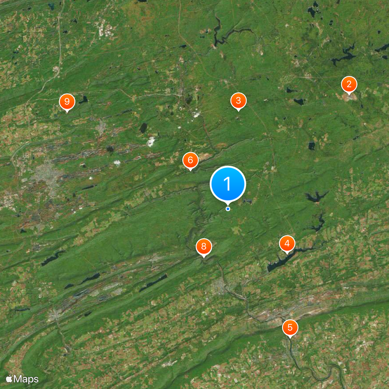
Carbon County, Administrative county in northeastern Pennsylvania, US.

Description

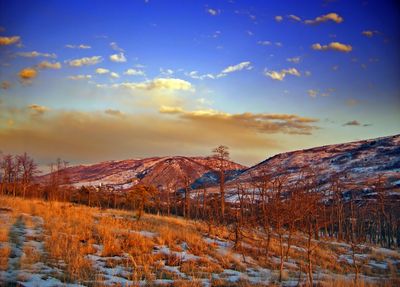
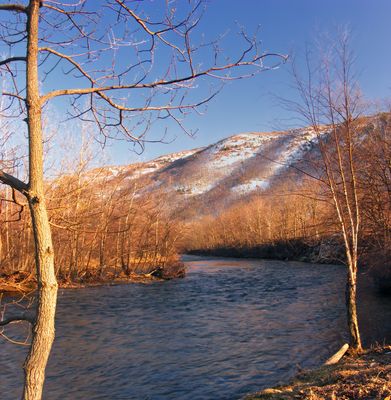
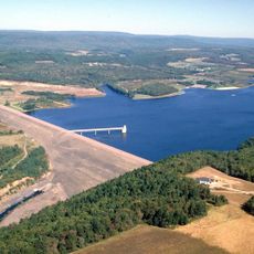
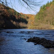
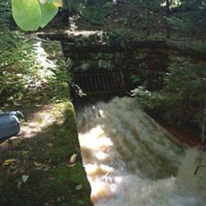
Carbon County is an administrative division in northeastern Pennsylvania covering about 387 square miles with rivers, ridges, and forested areas. The Lehigh River flows through the region, and portions of the Blue Mountain and Pocono Mountains occupy this landscape.

History

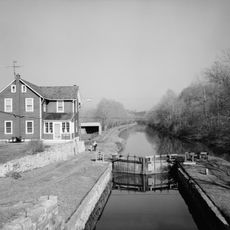
The area was established in 1843 from parts of Northampton and Monroe counties, following anthracite coal discovery in the 1790s. This discovery transformed the region into a major industrial center for coal extraction.

Culture

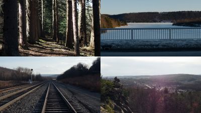
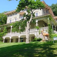
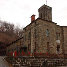
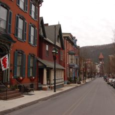
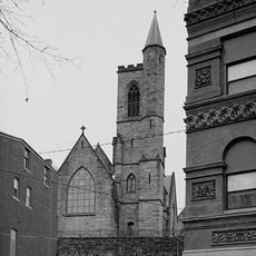
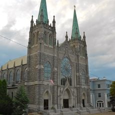
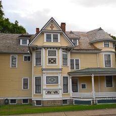
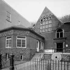
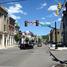
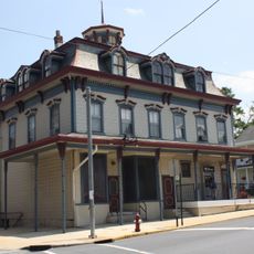
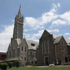
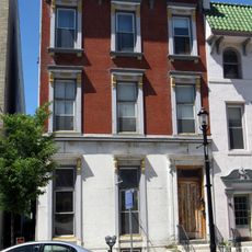
The area reflects its coal-mining past in place names and buildings, especially in older towns like Jim Thorpe. Visitors can experience the architecture and layout of these former industrial communities today.

Practical

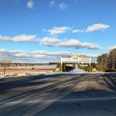
The area is crossed by Interstate 80, Interstate 476, and US Route 209 for good highway access. Local bus services such as Carbon Transit provide additional transportation options for exploring the region.

Did you know?

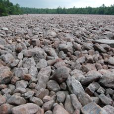
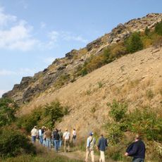
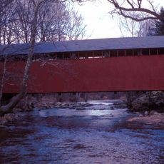
The area is home to three major state parks - Beltzville, Hickory Run, and Lehigh Gorge - which together form an extensive network of trails and natural spaces. These parks provide visitors with diverse outdoor activities throughout the landscape.

Location
Inception
March 13, 1843
Capital city
Jim Thorpe
Shares border with
Luzerne County, Monroe County, Northampton County, Lehigh County, Schuylkill County
GPS coordinates
40.92000,-75.70000
Latest update
December 17, 2025 09:30

AroundUs brings together thousands of curated places, local tips, and hidden gems, enriched daily by 60,000 contributors worldwide. Discover all places nearby (Pennsylvania).

Around this place
Pocono Raceway
United States of America

Pocono Raceway

21.9 km
Hickory Run State Park
United States of America

Hickory Run State Park

13 km
Beltzville State Park
United States of America

Beltzville State Park

9.6 km
Lehigh Canal
United States of America

Lehigh Canal

18.7 km
Lehigh Gorge State Park
United States of America

Lehigh Gorge State Park

7.1 km
Asa Packer Mansion
United States of America

Asa Packer Mansion

7 km
Harry Packer Mansion
United States of America

Harry Packer Mansion

6.9 km
Angela Park
United States of America

Angela Park

24.7 km
Nescopeck State Park
United States of America

Nescopeck State Park

24.4 km
Lehigh Gap
United States of America

Lehigh Gap

17.7 km
Carbon County Jail
United States of America

Carbon County Jail

7.4 km
Jeddo Tunnel
United States of America

Jeddo Tunnel

26.4 km
Old Mauch Chunk Historic District
United States of America

Old Mauch Chunk Historic District

7.4 km
St. Mark's Episcopal Church
United States of America

St. Mark's Episcopal Church

7.2 km
St. Gabriel's Catholic Parish Complex
United States of America

St. Gabriel's Catholic Parish Complex

23.1 km
Israel Platt Pardee Mansion
United States of America

Israel Platt Pardee Mansion

23.4 km
Lehigh Gap
United States of America

Lehigh Gap

17.7 km
Little Gap Covered Bridge
United States of America

Little Gap Covered Bridge

17.9 km
Stoddartsville Historic District
United States of America

Stoddartsville Historic District

24.1 km
United States of America

State Game Lands Number 40

18.6 km
Fireman's Drinking Fountain
United States of America

Fireman's Drinking Fountain

20.1 km
Markle Banking & Trust Company Building
United States of America

Markle Banking & Trust Company Building

23.4 km
Summit Hill High School
United States of America

Summit Hill High School

18 km
Dimmick Memorial Library
United States of America

Dimmick Memorial Library

7.1 km
Tamaqua Historic District
United States of America

Tamaqua Historic District

25.5 km
Slatington Historic District
United States of America

Slatington Historic District

20.5 km
Lansford Historic District
United States of America

Lansford Historic District

18.3 km
Anthracite Bank Building
United States of America

Anthracite Bank Building

26.8 km
Show the full map
« Carbon County - Administrative county in northeastern Pennsylvania, US » is provided by Around Us (aroundus.com). Images and texts are derived from Wikimedia project under a Creative Commons license. You are allowed to copy, distribute, and modify copies of this page, under the conditions set by the license, as long as this note is clearly visible.

Discover hidden gems everywhere you go!

From secret cafés to breathtaking viewpoints, skip the crowded tourist spots and find places that match your style. Our app makes it easy with voice search, smart filtering, route optimization, and insider tips from travelers worldwide. Download now for the complete mobile experience.

Around Us App Screenshot

A unique approach to discovering new places

Le Figaro

All the places worth exploring

France Info

A tailor-made excursion in just a few clicks

20 Minutes

Around Us
Travel Guide & Maps
Download

Send to your phone

QR Code
1

Open the camera app on your mobile.

2

Point at the QR code with your camera. A notification will appear.

3

Tap the notification to open the link.