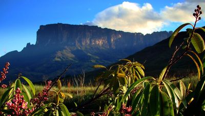
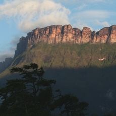
Guayana natural region, Natural region in Bolívar, Venezuela.
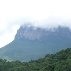
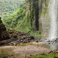
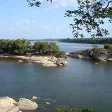
The Guayana natural region covers southeastern Venezuela and includes the Orinoco River basin with dense forests, mountain ranges, and extensive river networks throughout its territory. The landscape varies from lowland river valleys to higher plateau areas, creating different plant and animal habitats.
European explorers first documented the Orinoco region in 1498, marking the beginning of external records about the area. A major expedition in 1951 brought new understanding of the region's geography and features.
Indigenous peoples such as the Warao, Kariña, and Pemón have made this region their home for generations, and their daily practices and customs continue to shape how the land is inhabited and used. You can observe their influence in settlements, fishing techniques, and agriculture adapted to the forest and river environments.
Travel through this region requires planning and awareness that many areas are remote with limited road infrastructure, making river routes the primary way to move around. The dry season offers better conditions for movement and visibility, while the rainy season brings high water levels that affect accessibility.
The Casiquiare canal naturally connects the Orinoco and Amazon river systems, allowing water to flow between two of South America's largest river networks. This rare natural waterway is one of the few places where two major watershed systems link together in this way.
The community of curious travelers
AroundUs brings together thousands of curated places, local tips, and hidden gems, enriched daily by 60,000 contributors worldwide.