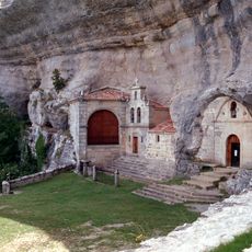
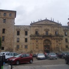
Las Merindades, Medieval administrative district in northern Burgos, Spain
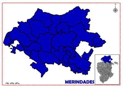
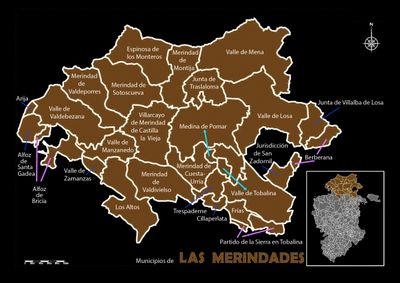
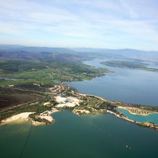
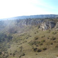
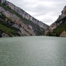
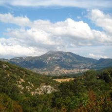
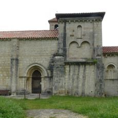
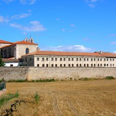
Las Merindades is a historic administrative region in northern Burgos province comprising 26 municipalities centered around Villarcayo. The area sits between mountain regions to the northwest and northeast, while opening toward flatter terrain to the south.
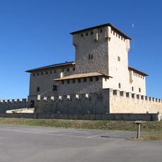
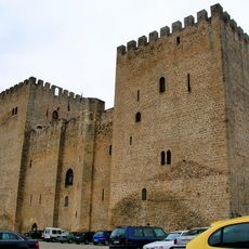
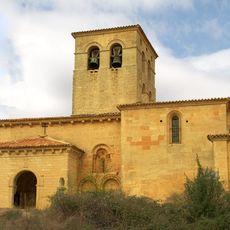
The region developed as an administrative division during the medieval period when King Pedro of Castile organized these territories, a process documented in the Becerro de Behetrías. This medieval structure became foundational to Castilian identity and has endured to the present day.
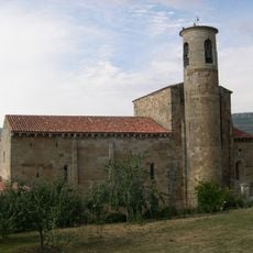
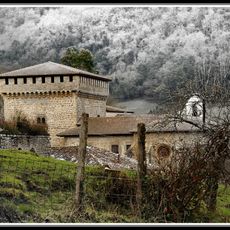
The territory reflects a medieval way of organizing communities, where local towns grouped together under a single administrative authority. Visitors can observe how this historical framework still shapes the character and connections between the different villages today.
The territory is relatively scattered and best explored by car, as public transport between municipalities is limited. It helps to plan routes around Villarcayo as a central reference point for easier navigation.
The term merindad derived from merinos, officials with powers comparable to English counts or bailiffs, an administrative innovation from this region. This title system later influenced administrative structures in other European kingdoms.
The community of curious travelers
AroundUs brings together thousands of curated places, local tips, and hidden gems, enriched daily by 60,000 contributors worldwide.