La Orotava

Log in to your account

AroundUs is a community-driven map of interesting places, built by curious explorers like you. It grows with every review, story, and photo you share.
Connect to save your favorite spots, contribute locations, and create personalized routes.
By continuing, you accept our Terms and Conditions and our Privacy Policy
Add to collection
Map
Suggest a change
Share

La Orotava, Colonial municipality in northern Tenerife, Spain

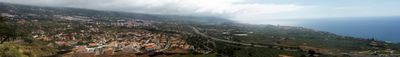
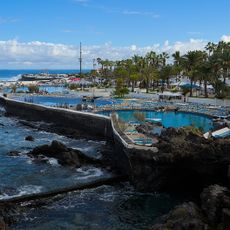
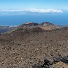
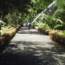
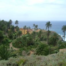
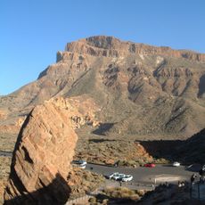
La Orotava is a municipality in northern Tenerife spanning from the coast up toward Mount Teide, encompassing diverse terrain and ecosystems. The area includes lowland towns, agricultural valleys, pine forests, and higher elevations with volcanic soil.

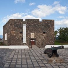
The area was first inhabited by the Guanche people before Spanish settlers arrived in 1502 and established the town. It grew as a trading center for sugar cane and other agricultural exports, shaping the region's economy for centuries.

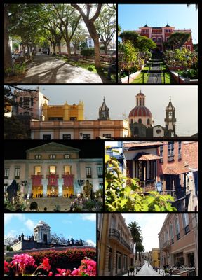
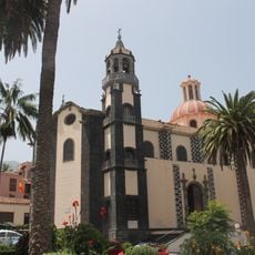
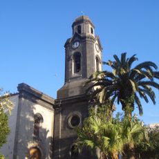
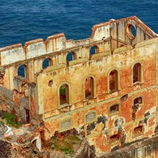
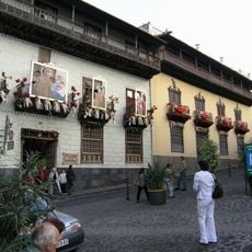
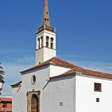
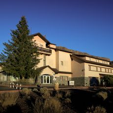
The town center preserves colonial-era architecture with wooden-balconied houses, cobblestone streets, and the Baroque church that dominates the plaza. Residents take pride in maintaining these buildings as living reminders of their community's past.

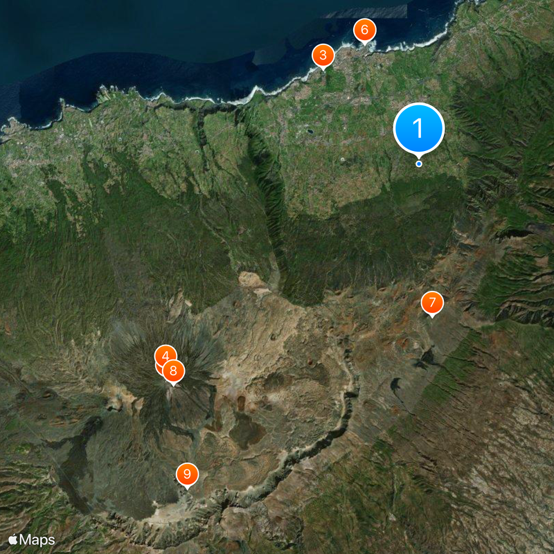
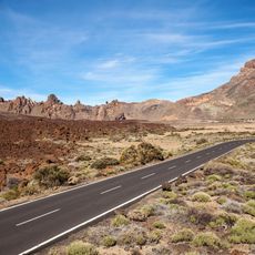
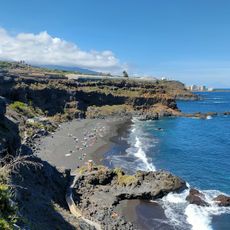
The town sits on the northern coast and provides access to hiking trails toward Teide National Park and various shopping areas. Visitors should know that roads to higher elevations are steep and weather in the mountains can change quickly.

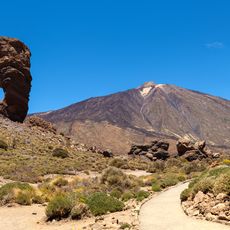
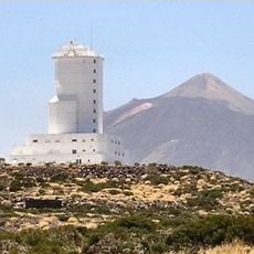
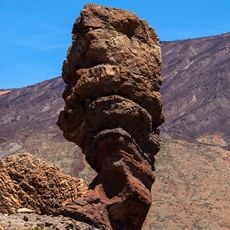
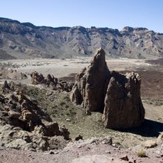
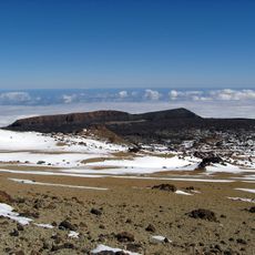
Mount Teide, Spain's highest peak at over 3,700 meters, sits within the municipality and can be seen from many locations throughout the area. This volcanic summit has shaped the region's identity as a natural landmark for centuries.

Location: Tenerife

Inception: 1502

Elevation above the sea: 368 m

Shares border with: Adeje, Santa Úrsula, Arafo, Güímar, Fasnia, Arico, Granadilla de Abona, Vilaflor de Chasna, Guía de Isora, Santiago del Teide, Icod de los Vinos, La Guancha, San Juan de la Rambla, Santa Cruz de Tenerife, Los Realejos, Puerto de la Cruz

Address: La Orotava, Santa Cruz de Tenerife, Spain

Website: https://laorotava.es

GPS coordinates: 28.36667,-16.51667

Latest update: December 6, 2025 22:07

Reviews

Visited this place? Tap the stars to rate it and share your experience / photos with the community! Try now! You can cancel it anytime.

« La Orotava - Colonial municipality in northern Tenerife, Spain » is provided by Around Us (aroundus.com). Images and texts are derived from Wikimedia project under a Creative Commons license. You are allowed to copy, distribute, and modify copies of this page, under the conditions set by the license, as long as this note is clearly visible.

Discover hidden gems everywhere you go!

From secret cafés to breathtaking viewpoints, skip the crowded tourist spots and find places that match your style. Our app makes it easy with voice search, smart filtering, route optimization, and insider tips from travelers worldwide. Download now for the complete mobile experience.

Around Us App Screenshot

A unique approach to discovering new places

Le Figaro

All the places worth exploring

France Info

A tailor-made excursion in just a few clicks

20 Minutes