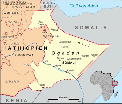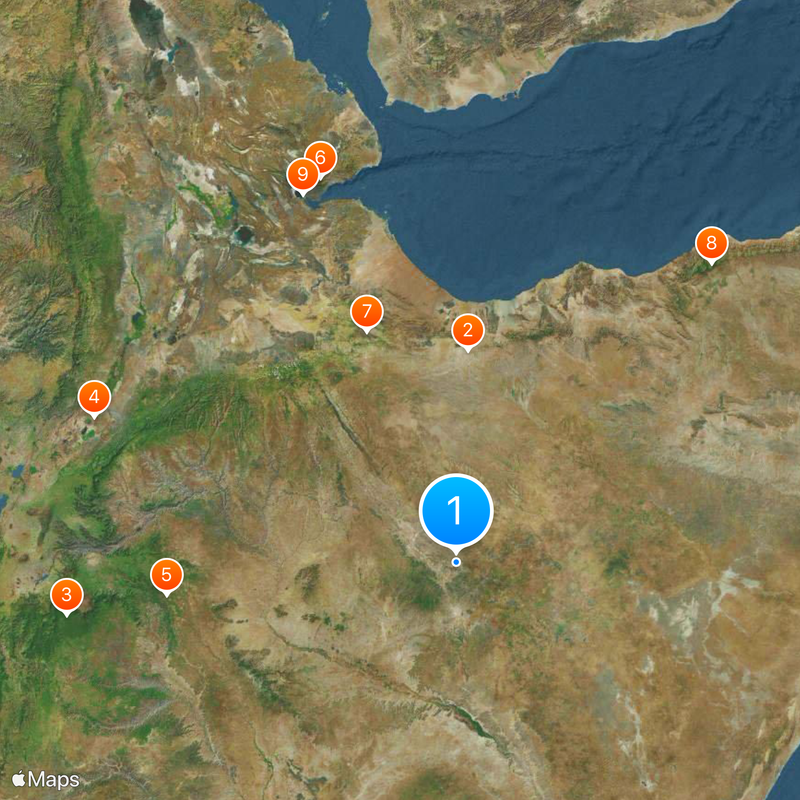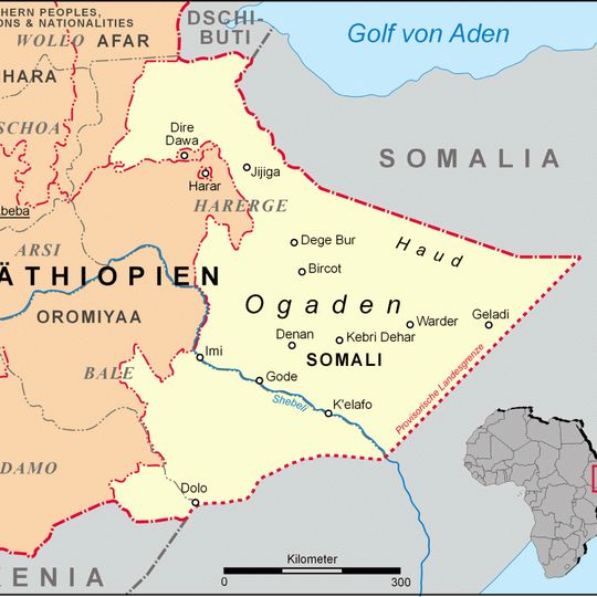
Ogaden, Geographic region in southeastern Ethiopia.
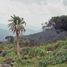
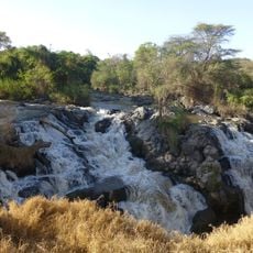
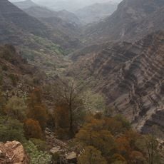
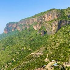
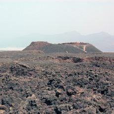
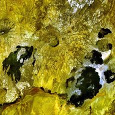
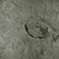
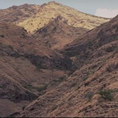
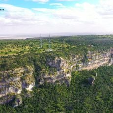
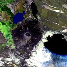
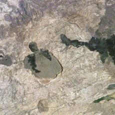
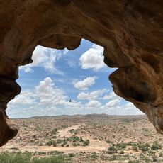
Ogaden is a wide-reaching landscape in southeastern Ethiopia with flat plateaus, dry expanses and scattered green zones. The area covers several hundred miles and shows a changing pattern of bare earth, low bushes and occasional watercourses.
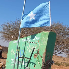
The territory changed from British administration to Ethiopian control in the late 19th century through a border treaty. Since then it has seen several conflicts between different claimant groups and remains a politically sensitive space today.
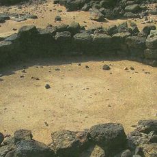
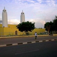
Most people here are herders and small farmers who move their livestock between grazing lands and live in simple settlements. Many villages cluster around wells or small riverbeds, where daily life unfolds and neighbors gather.
Most roads are unpaved and hard to pass after rains, so the dry season is better for travel. Visitors should carry drinking water and supplies, as service points are far apart and not always available.
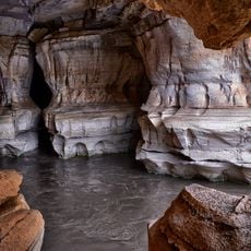
The river disappears underground in some sections and re-emerges only after several miles. These underground courses create small oases where plants grow and animals drink, while bare plains dominate all around.
The community of curious travelers
AroundUs brings together thousands of curated places, local tips, and hidden gems, enriched daily by 92,632 contributors worldwide.