Enable Location

We need your location to show you interesting places around you

Discover nearby places

Find interesting locations and hidden gems around you

Precise directions

Get accurate directions and distances to places

Your location is never shared with other users. It's only used when you tap the location button.

Arles

Log in to your account

Start exploring — it's free

Trusted by 63,245 travelers worldwide

Continue with Google
Continue with Apple
or

We will send you a code to connect

By continuing, you accept our Terms and Conditions and our Privacy Policy

Check your inbox

We've sent a pincode in your inbox. Please enter the code below.

Discussion Reviews 2 Photos
190k Popularity

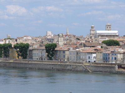
Arles, Administrative division in Bouches-du-Rhône, France

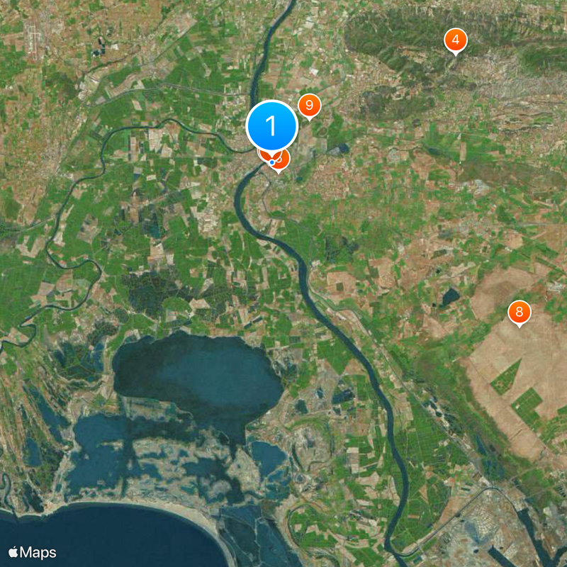
Arles is an administrative division in Bouches-du-Rhône that groups 29 municipalities across the Rhône delta and surrounding plains. The district reaches from the wetlands of the Camargue to the limestone hills of the Alpilles, bringing together coastal marshes and inland farmland under one jurisdiction.

The district was created in 1800 during the Napoleonic reorganization of France and kept Arles as its main seat. Boundaries shifted several times during the 19th century until territorial reforms in the 20th century established the current extent.

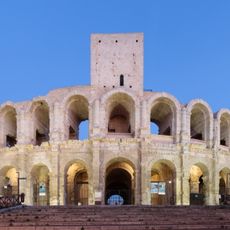
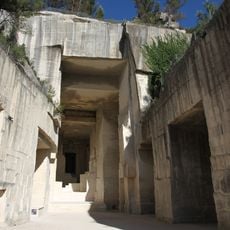
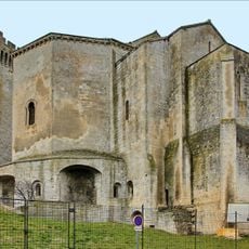
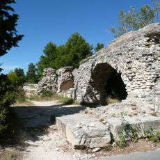
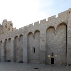
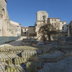
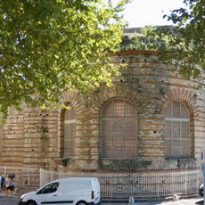
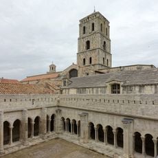
The administrative territory includes multiple UNESCO World Heritage sites, with Roman monuments and religious buildings spread across different municipalities.

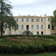
Travelers moving through this jurisdiction encounter town halls and public offices scattered across member municipalities. The main administration in the city of Arles coordinates regional services such as education and road maintenance for the entire zone.

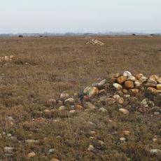
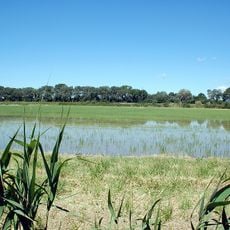
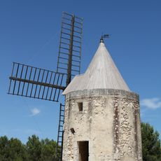
The district manages territory belonging to different natural environments, including salt lakes, marshland and dry steppes. This diversity makes administrative work unusually complex because conservation rules and land use vary greatly across zones.

The community of curious travelers

AroundUs brings together thousands of curated places, local tips, and hidden gems, enriched daily by 60,000 contributors worldwide.

Start exploring
Location
Location
Communauté d'agglomération Arles-Crau-Camargue-Montagnette
Elevation above the sea
4 m
Shares border with
Port-Saint-Louis-du-Rhône, Fos-sur-Mer, Saint-Martin-de-Crau, Paradou, Fontvieille, Tarascon, Beaucaire, Fourques, Saint-Gilles, Les Saintes-Maries-de-la-Mer
Phone
GPS coordinates
43.67762,4.63097
Latest update
December 14, 2025 21:40
Reviews
Share your experience

No review yet

Discussions
Start a discussion...

No discussion yet

« Arles - Administrative division in Bouches-du-Rhône, France » is provided by Around Us (aroundus.com). Images and texts are derived from Wikimedia project under a Creative Commons license. You are allowed to copy, distribute, and modify copies of this page, under the conditions set by the license, as long as this note is clearly visible.

Discover hidden gems everywhere you go!

From secret cafés to breathtaking viewpoints, skip the crowded tourist spots and find places that match your style. Our app makes it easy with voice search, smart filtering, route optimization, and insider tips from travelers worldwide. Download now for the complete mobile experience.

Around Us App Screenshot

A unique approach to discovering new places

Le Figaro

All the places worth exploring

France Info

A tailor-made excursion in just a few clicks

20 Minutes

Around Us
Travel Guide & Maps
Download

Send to your phone

QR Code
1

Open the camera app on your mobile.

2

Point at the QR code with your camera. A notification will appear.

3

Tap the notification to open the link.