Chest opened
+${chestReward.xp} XP
Explorer
NOUVEAU ×${chestReward.collectible.quantity}
tapez pour fermer
Chest locked

Open chests in the app

Around Us is built for your phone — chests unlock when you walk, explore and capture nearby places.

Enable Location

We need your location to show you interesting places around you

Discover nearby places

Find interesting locations and hidden gems around you

Precise directions

Get accurate directions and distances to places

Your location is never shared with other users. It's only used when you tap the location button.

Log in to your account

Start exploring — it's free

Trusted by 72,887 travelers worldwide

Continue with Google
Continue with Apple
or

We will send you a code to connect

By continuing, you accept our Terms and Conditions and our Privacy Policy

Check your inbox

We've sent a pincode in your inbox. Please enter the code below.

Kagal
Discussion Reviews Photo
16.1k Popularity

Kagal, human settlement in India

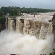
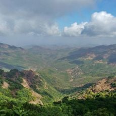
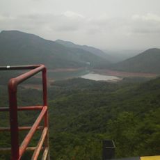
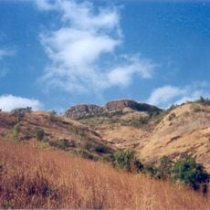
Kagal is a town in Kolhapur district situated on a hill at approximately 1,800 feet (550 meters) elevation, creating a slightly cooler climate. The streets are filled with local shops and the sounds of daily work, narrow lanes and busy markets characterize the layout, with the Dudhganga river flowing nearby and the town close to the Maharashtra-Karnataka border.

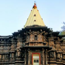
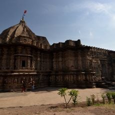
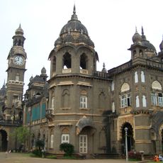
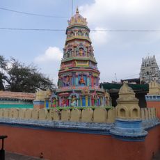
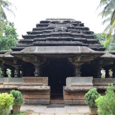
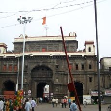
Kagal was established in the late 1500s when a Muslim ruler from Bijapur granted land to a leader of the Kagal family, establishing their political importance in the region. The powerful Ghatge family subsequently shaped the town's development through the Maratha period and into British colonial times, maintaining its role as a significant local center.

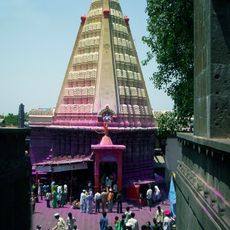
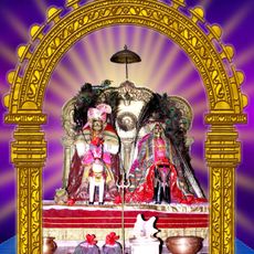
Kagal maintains local traditions through crafts and dances passed down through generations, particularly visible during festivals when the community gathers for celebrations with music and shared meals. The town preserves these practices as part of daily life rather than as museum pieces.

The town is best reached by car or bus as the nearest railway station is in Kolhapur about 13 kilometers away, though the Kolhapur airport provides an option for longer-distance travel. Local roads connect to major highways, making it relatively straightforward to reach from nearby cities.

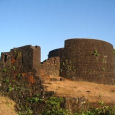
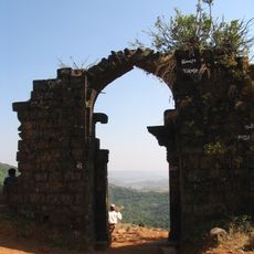
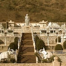
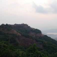
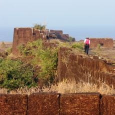
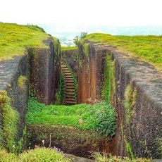
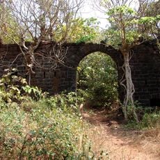
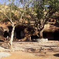
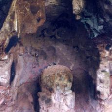
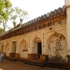
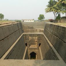
An old fort once defended the town from invaders, and its walls remain partially visible today, offering a physical connection to the town's turbulent past. Visitors can explore these architectural remains and trace the layers of protection that shaped the settlement.

The community of curious travelers

AroundUs brings together thousands of curated places, local tips, and hidden gems, enriched daily by 60,000 contributors worldwide.

Start exploring
Elevation above the sea
553 m
GPS coordinates
16.58000,74.32000
Latest update
February 19, 2026 22:40
Reviews
Share your experience

No review yet

Discussions
Start a discussion...

No discussion yet

« Kagal - human settlement in India » is provided by Around Us (aroundus.com). Images and texts are derived from Wikimedia project under a Creative Commons license. You are allowed to copy, distribute, and modify copies of this page, under the conditions set by the license, as long as this note is clearly visible.

Discover hidden gems everywhere you go!

From secret cafés to breathtaking viewpoints, skip the crowded tourist spots and find places that match your style. Our app makes it easy with voice search, smart filtering, route optimization, and insider tips from travelers worldwide. Download now for the complete mobile experience.

Around Us App Screenshot

A unique approach to discovering new places

Le Figaro

All the places worth exploring

France Info

A tailor-made excursion in just a few clicks

20 Minutes

Around Us
Travel Guide & Maps
Download

Send to your phone

QR Code
1

Open the camera app on your mobile.

2

Point at the QR code with your camera. A notification will appear.

3

Tap the notification to open the link.