Bhagawangola II community development block

Log in to your account

AroundUs is a community-driven map of interesting places, built by curious explorers like you. It grows with every review, story, and photo you share.
Connect to save your favorite spots, contribute locations, and create personalized routes.
By continuing, you accept our Terms and Conditions and our Privacy Policy

Bhagawangola II community development block

Add to collection
Map
Suggest a change
Share

Bhagawangola II community development block, Community development block in Lalbag subdivision, India.

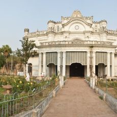
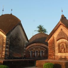
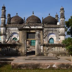
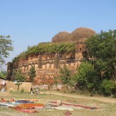
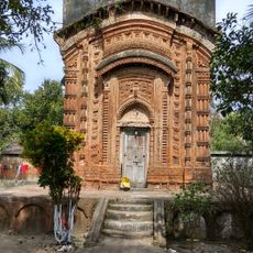
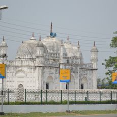
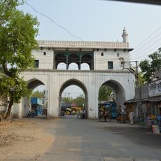
Bhagawangola II is a community development block in West Bengal that spreads across flat alluvial plains shaped by several major rivers. The block contains numerous villages scattered throughout the region, with agriculture serving as the primary livelihood for most residents.

The block was created to improve local administration and agricultural development across the region. Over time, infrastructure and services expanded to support better farming practices and access to essential facilities.

The waterways running through the area shape how villagers build their homes and organize their fields and daily routines. People rely on these rivers for water, transportation, and irrigation throughout the year.

The area is accessible primarily through bus routes and ferry services that connect villages to nearby towns and regional centers. Plan visits during drier months when roads are more passable and travel between settlements is easier.

The block struggles with arsenic contamination in groundwater that impacts the drinking water available to residents throughout the area. This environmental challenge has prompted conversations about water safety and alternative solutions among villagers and local authorities.

Location: Lalbag subdivision

Elevation above the sea: 24 m

Shares border with: Bhagawangola I community development block, Murshidabad-Jiaganj community development block, Raninagar I community development block, Raninagar II community development block

GPS coordinates: 24.30900,88.35800

Latest update: December 12, 2025 09:01

Photos
Reviews

Visited this place? Tap the stars to rate it and share your experience / photos with the community! Try now! You can cancel it anytime.

« Bhagawangola II community development block - Community development block in Lalbag subdivision, India » is provided by Around Us (aroundus.com). Images and texts are derived from Wikimedia project under a Creative Commons license. You are allowed to copy, distribute, and modify copies of this page, under the conditions set by the license, as long as this note is clearly visible.

Discover hidden gems everywhere you go!

From secret cafés to breathtaking viewpoints, skip the crowded tourist spots and find places that match your style. Our app makes it easy with voice search, smart filtering, route optimization, and insider tips from travelers worldwide. Download now for the complete mobile experience.

Around Us App Screenshot

A unique approach to discovering new places

Le Figaro

All the places worth exploring

France Info

A tailor-made excursion in just a few clicks

20 Minutes