Bhagawangola I community development block, Administrative division in Lalbag subdivision, India
Bhagawangola I is an administrative division in Lalbag subdivision that spreads across agricultural fields and rural settlements across a large area. The block includes multiple villages and rural communities organized across the landscape with healthcare facilities serving local needs.
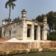
The area developed as an administrative division within Lalbag subdivision and is now an established block in West Bengal. Its growth is linked to the expansion of rural infrastructure and population development over the past decades.
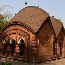
Residents speak Bengali and maintain local traditions through daily customs and farming practices that are central to community life. These cultural ties shape how people work and relate to their land and one another.
The area is primarily rural and includes basic health centers and educational facilities serving the local population. Visitors should expect rural conditions and can find authentic insights into village life in the local communities.
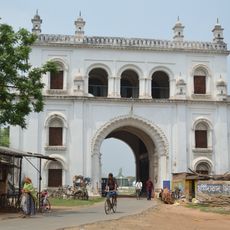
The area lies near the Padma River close to the Bangladesh border, placing it at a location of international significance. This geographic position has shaped how the region develops and how residents experience daily life.
The community of curious travelers
AroundUs brings together thousands of curated places, local tips, and hidden gems, enriched daily by 60,000 contributors worldwide.