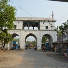
Murarai I community development block, Administrative block in Rampurhat subdivision, India
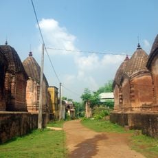
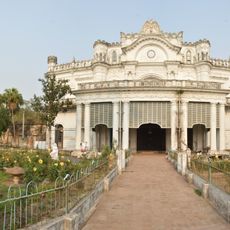
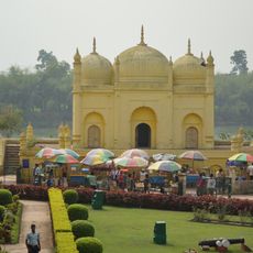
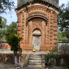
Murarai I is a community development block in Rampurhat subdivision, Birbhum district, West Bengal, made up of around 80 inhabited villages. The western part sits on lateritic upland soil, while the eastern side opens onto alluvial plains.
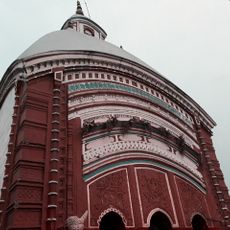
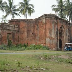
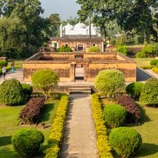
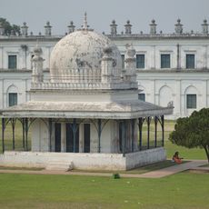
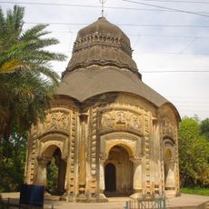
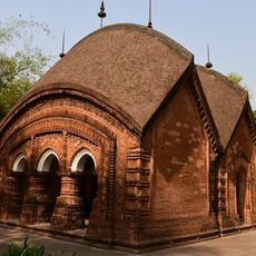
This area is part of the ancient Rarh region, one of the oldest inhabited territories in western Bengal, with roots going back long before colonial times. Over many centuries, the landscape gradually settled into the pattern of upland and plain that shapes the block today.
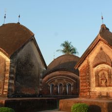
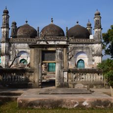
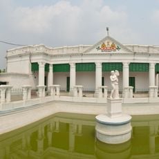
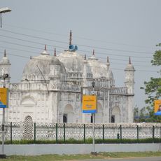
Muslim and Hindu communities live side by side across the villages, sharing markets, festivals, and everyday spaces. This religious mix shapes the rhythm of local life in ways a visitor can easily notice when passing through.
The block is divided into seven gram panchayats and is accessible by village roads, though road conditions can vary depending on the season and how remote a settlement is. Traveling early in the day is a good idea, as services and transport options can be limited in more rural areas.
Murarai I is known as a source area for migrant workers who leave seasonally to find work in other parts of Bengal and India. During certain months, this gives some villages a noticeably quieter feel, with fewer working-age men present.
The community of curious travelers
AroundUs brings together thousands of curated places, local tips, and hidden gems, enriched daily by 60,000 contributors worldwide.