Sagardighi community development block, Administrative division in Jangipur subdivision, West Bengal.
Sagardighi is a community development block located in Jangipur subdivision that covers flat rural land dotted with villages. Agricultural cultivation dominates the landscape, with paddy, wheat, jute, and potato farming forming the backbone of the local economy.
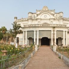
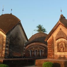
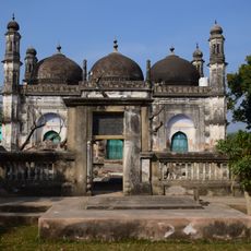
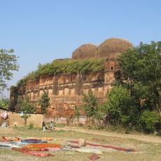
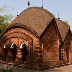
Archaeological discoveries near Ekani Chandpara provide evidence of human settlement stretching back many thousands of years. These findings reveal that people have inhabited and worked this land for an exceptionally long time.
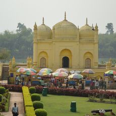
Bengali and Santali remain the languages spoken in daily life throughout the area. Agricultural fairs serve as gathering points where communities come together for trade and to maintain social bonds.
The area has one rural hospital and several health centers providing basic medical services. The best time to visit is during harvest season, when the fields are actively worked and village life is most visible.
A thermal power station in Sagardighi supplies electricity to surrounding regions and has been expanded multiple times to meet growing energy needs. This industrial facility stands out as a major development in an otherwise agricultural area.
Location: Jangipur subdivision
Elevation above the sea: 32 m
Shares border with: Raghunathganj I community development block, Raghunathganj II community development block, Lalgola community development block, Bhagawangola I community development block, Murshidabad-Jiaganj community development block, Nabagram community development block, Nalhati II community development block, Murarai II community development block
GPS coordinates: 24.28000,88.10000
Latest update: December 10, 2025 16:23
Hazarduari Palace
20 km
Namak Haram Deorhi
18.7 km
Nizamat Imambara
19.9 km
Katra Masjid
21.8 km
Khushbagh
20.8 km
Jahan Kosha cannon
22 km
Tomb of Azimunnisha Begum
19.1 km
Madina Mosque
20 km
Wasif Manzil
20.3 km
Char Bangla Temples
14.9 km
Nashipur Rajbari
18.4 km
Motijheel Jama Mosque
22.2 km
Bachhawali Tope
20 km
Chawk Masjid
20.3 km
Kathgola palace
18.8 km
Kheraul mosque
8.2 km
Clock Tower of Murshidabad
20 km
Yellow Mosque
20 km
Jagat Sett's house
18.3 km
Bhavaniswar Mandir
14.9 km
Fauti Mosque
21.1 km
Ratneshwar temple
17.4 km
White mosque
20.3 km
Siraj ud-Daulah's grave
20.9 km
Tripolia Gate
20.3 km
Gangeshwar Temple
14.7 km
Nizamat Fort South Gate
20.5 km
Tomb of Sujauddin
19.7 kmVisited this place? Tap the stars to rate it and share your experience / photos with the community! Try now! You can cancel it anytime.
Discover hidden gems everywhere you go!
From secret cafés to breathtaking viewpoints, skip the crowded tourist spots and find places that match your style. Our app makes it easy with voice search, smart filtering, route optimization, and insider tips from travelers worldwide. Download now for the complete mobile experience.
A unique approach to discovering new places❞
— Le Figaro
All the places worth exploring❞
— France Info
A tailor-made excursion in just a few clicks❞
— 20 Minutes