
Braunau District, Administrative district in Upper Austria, Austria
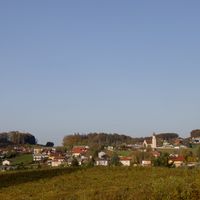
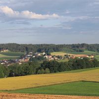
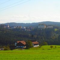
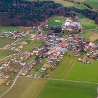
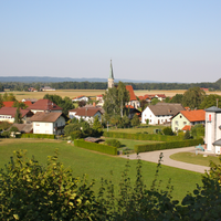
The district includes 46 municipalities across 1,040 square kilometers between the Inn River and the northern edge of Upper Austria.
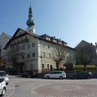
The district, formally established in 1868, transferred from Bavarian control to Austrian administration in 1779 as part of the Innviertel region.
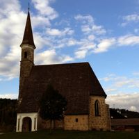
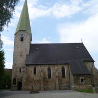
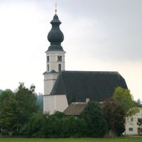
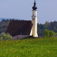
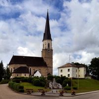
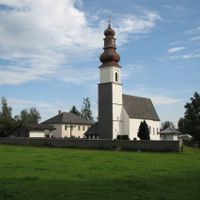
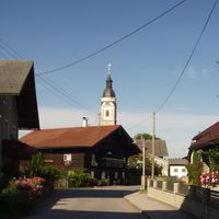
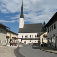
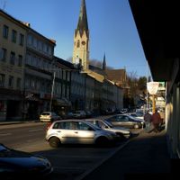
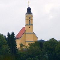
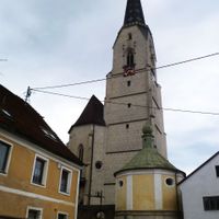
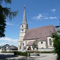
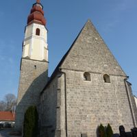
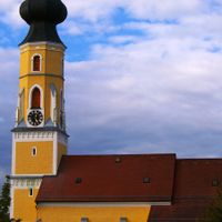
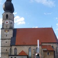
The district maintains a network of Gothic churches, including Saint Stephen's Church in Braunau am Inn, constructed between 1439 and 1492.
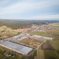
The region houses manufacturing facilities producing aluminum, scales, fire extinguishers, and wood products, particularly in the Ranshofen industrial area.
The district initiated the installation of 13 Stolperstein memorial blocks, becoming the first region in German-speaking Europe for this commemoration.
Location: Upper Austria
Capital city: Braunau am Inn
Shares border with: Rottal-Inn, Traunstein, Altötting county, Ried District, Vöcklabruck District, Salzburg-Umgebung District
Website: https://land-oberoesterreich.gv.at/bh_braunau.htm
GPS coordinates: 48.13100,13.10900
Latest update: May 27, 2025 09:46
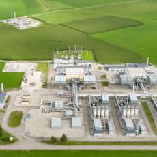
Haidach gas storage
18.5 km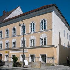
Adolf-Hitler-Geburtshaus
15 km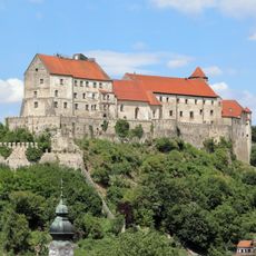
Burghausen Castle
21 km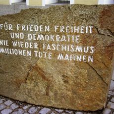
Hitler birthplace memorial stone
15 km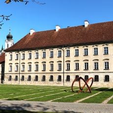
Raitenhaslach Cistercian Abbey
23.2 km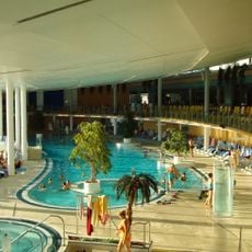
Therme Geinberg
20.3 km
Michaelbeuern Abbey
13.7 km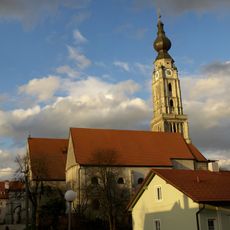
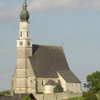
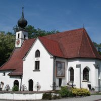
Sankt Stephan
15.1 km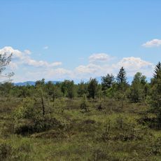
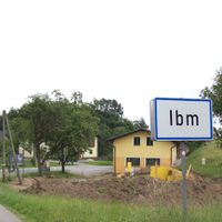
Ibmer Moor
15 km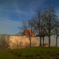
Burg Tittmoning
26.8 km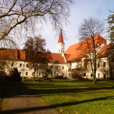
Stift Ranshofen
13 km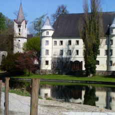
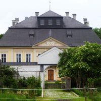
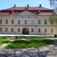
Schloss Hagenau
16.1 km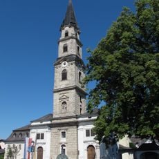
Stift Mattsee
17.8 km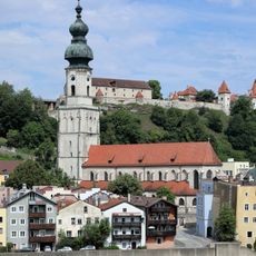
Sankt Jakob (Burghausen)
20.8 km
Marienberg
23.7 km
Kurfürst-Maximilian-Gymnasium
20.7 km
Trumerseen
16.5 km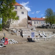
Frauenstein Castle
17.9 km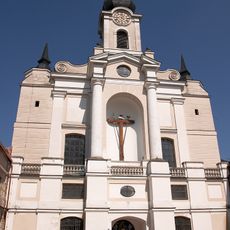
Ehemalige Zisterzienserabteikirche Mariä Himmelfahrt, Pfarrkirche St. Georg
23.9 km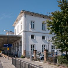
Simbach (Inn)
16 km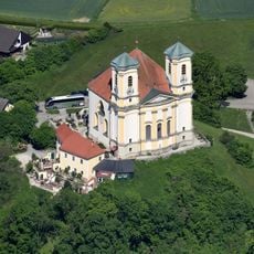
Wallfahrtskirche St. Maria Himmelfahrt
23.7 km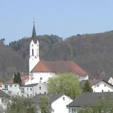
St. Oswald
24.1 km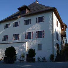
Schloss Mattsee
17.8 km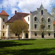
Schloss Mamling
17.4 km
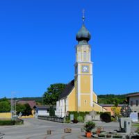
Schloss Mattighofen
4.2 km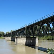
Simbach–Braunau railway bridge
15.5 km
Burg Julbach
18.2 km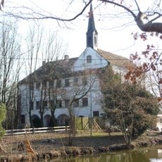
Schloss Wildenau
17.4 kmReviews
Visited this place? Tap the stars to rate it and share your experience / photos with the community! Try now! You can cancel it anytime.
Altheim
Aspach
Auerbach
Braunau am Inn
Burgkirchen
Eggelsberg
Feldkirchen bei Mattighofen
Franking
Geretsberg
Gilgenberg am Weilhart
Haigermoos
Handenberg
Helpfau-Uttendorf
Hochburg-Ach
Höhnhart
Jeging
Kirchberg bei Mattighofen
Lengau
Lochen am See
Maria Schmolln

Mattighofen
Mauerkirchen
Mining
Moosbach
Moosdorf
Munderfing
Neukirchen an der Enknach
Ostermiething
Palting
Perwang am Grabensee
Pfaffstätt
Pischelsdorf am Engelbach
Polling im Innkreis
Roßbach
Sankt Georgen am Fillmannsbach
Sankt Johann am Walde
St. Pantaleon
Sankt Peter am Hart
Sankt Radegund
Sankt Veit im Innkreis
Schalchen
Schwand im Innkreis
Tarsdorf
Treubach
Überackern
Weng im Innkreis
Discover hidden gems everywhere you go!
From secret cafés to breathtaking viewpoints, skip the crowded tourist spots and find places that match your style. Our app makes it easy with voice search, smart filtering, route optimization, and insider tips from travelers worldwide. Download now for the complete mobile experience.

A unique approach to discovering new places❞
— Le Figaro
All the places worth exploring❞
— France Info
A tailor-made excursion in just a few clicks❞
— 20 Minutes