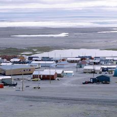
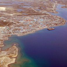
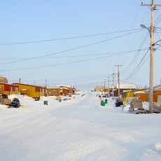
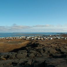
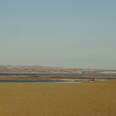
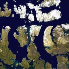
Shaler Mountains, Mountain range in Victoria Island, Nunavut, Canada.
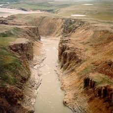
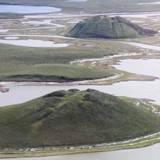
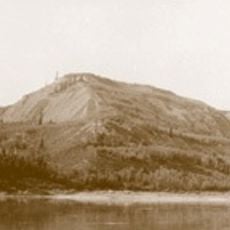
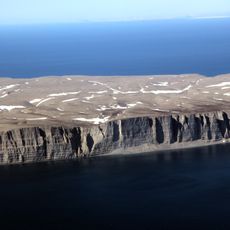
The Shaler Mountains form a prominent ridge system across Victoria Island, with the highest peak reaching approximately 655 meters above sea level. The range creates a distinctive landform in this remote part of the Canadian Arctic, visible from various vantage points across the island.
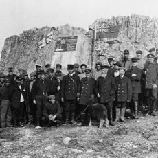
The mountains were named after Nathaniel Shaler, an American geologist who advanced knowledge of North American geological formations during the 1800s. This naming reflects the scientific exploration of Arctic regions that took place during the 19th century.
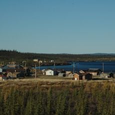
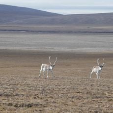
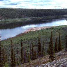
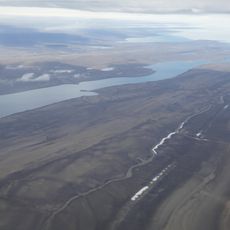
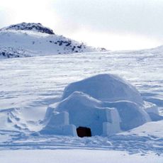
Indigenous communities of Victoria Island incorporate the mountains into their traditional knowledge of the land and seasonal migration patterns.
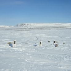
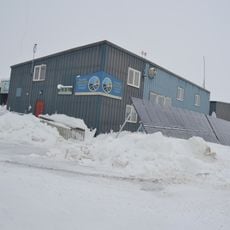
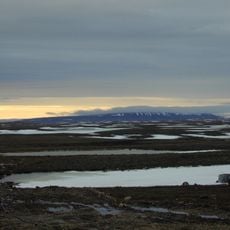
Expect severe weather conditions year-round, with extreme cold and strong winds being constant factors in this remote location. Visiting requires specialized arctic expedition gear and thorough preparation to navigate the terrain safely.
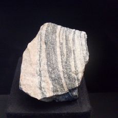
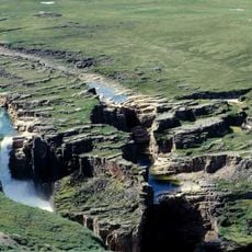
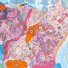
The range holds the highest point on Victoria Island and displays rock formations that expose the geological composition and age of Arctic landscape. These formations tell a story of how this northern land mass has evolved over vast stretches of time.
The community of curious travelers
AroundUs brings together thousands of curated places, local tips, and hidden gems, enriched daily by 60,000 contributors worldwide.