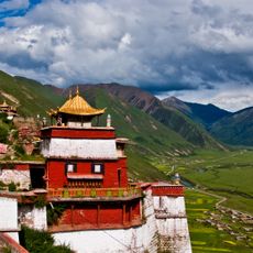
Transhimalaya, Mountain range in Tibet Autonomous Region, China
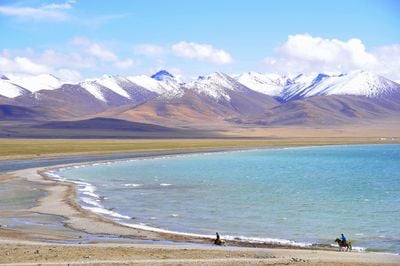
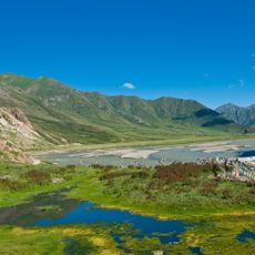
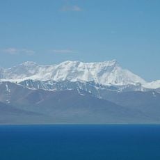
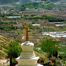
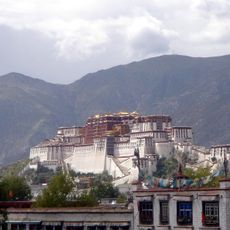
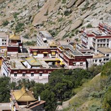
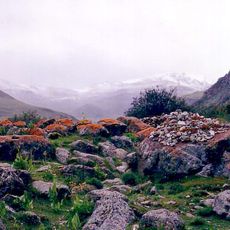
The Transhimalaya is a mountain range extending across Tibet with numerous peaks at varying elevations and deep valleys separating different mountain chains. Glaciers, high plateaus, and river valleys create a complex landscape throughout the region.
The Transhimalaya was systematically mapped during the 19th century by Swedish explorer Sven Hedin, whose expeditions documented the mountain range's geography and helped establish scientific knowledge of the region. These early surveys laid the foundation for modern understanding of the area.
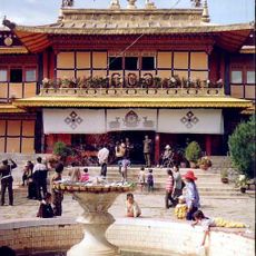
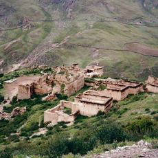
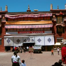
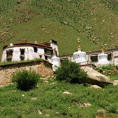
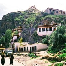
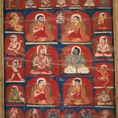
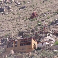
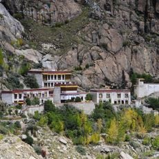
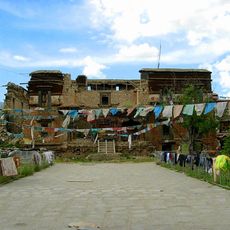
The Transhimalaya serves as a traditional homeland for Tibetan communities, where herders move their livestock between different elevation pastures following seasonal patterns. These migration cycles shape how local people relate to and use the mountain landscape.
Visiting the Transhimalaya requires proper preparation for high-altitude conditions and sturdy equipment suitable for mountain terrain. The warmer months offer more stable weather and better accessibility than winter seasons.
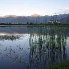
The Transhimalaya's glaciers feed some of Asia's major rivers, including significant tributaries of the Indus and Brahmaputra systems. This water source sustains millions of people across multiple countries downstream.
The community of curious travelers
AroundUs brings together thousands of curated places, local tips, and hidden gems, enriched daily by 60,000 contributors worldwide.