Geography of China, Geographic landmass in East Asia, China
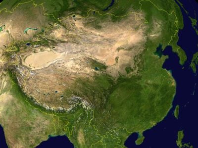
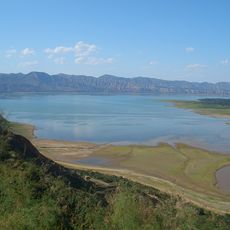
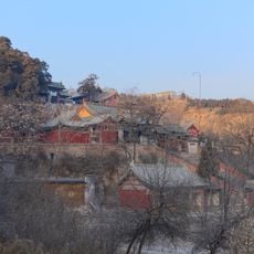
The geography of China covers an area in East Asia that stretches from the Himalayas to coastal plains along the Pacific Ocean, taking in mountain ranges, deserts, major river systems, and fertile farmland. The terrain rises from sea level in the east to over 8000 meters (roughly 26000 feet) in the west, forming several climate zones.
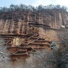
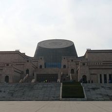
Early settlements along the Yellow River and the Yangtze formed more than 4000 years ago and shaped farming cultures that developed irrigation and grain cultivation. Later dynasties built canals and roads to link different regions and enable trade.
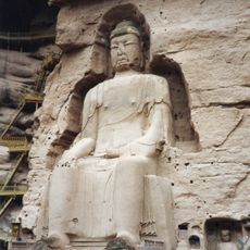
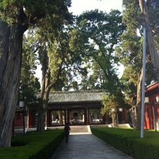
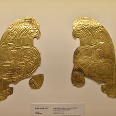
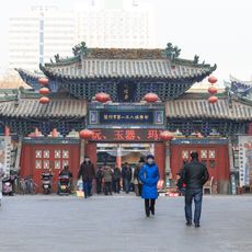
The varied terrain of China created distinct regional customs, dialects, and traditions among its 56 ethnic groups across different ecological zones.
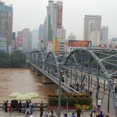
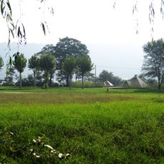
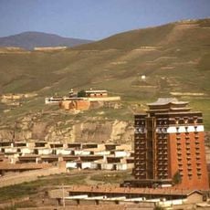
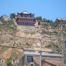
Coastal areas in the east are easier to reach and connect urban centers with farmland, while western plateaus and desert areas are less populated and have less infrastructure. Travelers should expect strong elevation changes and shifting weather conditions across different parts of the country.
The country borders 14 neighboring states and holds almost every type of landscape found in the Northern Hemisphere except polar tundra. Some areas lie below sea level, while others reach the highest peaks on Earth.
The community of curious travelers
AroundUs brings together thousands of curated places, local tips, and hidden gems, enriched daily by 60,000 contributors worldwide.