
Dapingchang
Location: Songtao Miao Autonomous County
GPS coordinates: 28.10933,109.10700
Latest update: April 4, 2025 05:27
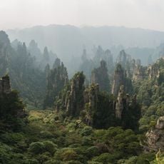
Zhangjiajie National Forest Park
186.3 km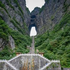
Tianmen Mountain
170.1 km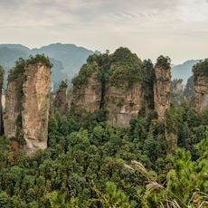
Wulingyuan
191.2 km
Mount Fanjing
45.9 km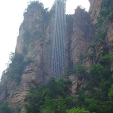
Bailong Elevator
191.4 km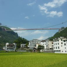
Aizhai Bridge
54.1 km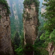
Avatar Hallelujah Mountain
189.2 km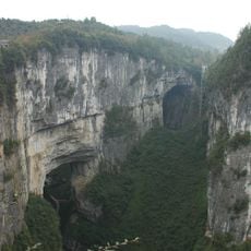
Three Natural Bridges
194.9 km
Wulong Karst
171 km
Miaojiang Great Wall
49.9 km
Tusi Sites
129.9 km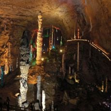
Huanglong Cave
178.1 km
Furong Cave
171.3 km
Laosicheng
130 km
Lishui River Bridge
158.8 km
Red Stones Forest
100.4 km
Former Site of the Japanese Surrender Ceremony
94.5 km
Xizhou Tongzhu
108 km
Qinglongdong
135.3 km
Wulingshan Bridge
165.5 km
Jiangjiehe Bridge
193.4 km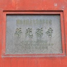
Puguang Temple
175.9 km
Huangzhou Wind-rain Bridge
82.6 km
Furongjiang River Bridge
161.6 km
Xisha Bridge
119.6 km
Zhusheng Bridge
135.3 km
Yanlai Temple
81.2 km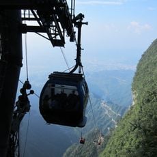
Tianmen Mountain Cable Car
169.9 kmReviews
Visited this place? Tap the stars to rate it and share your experience / photos with the community! Try now! You can cancel it anytime.
Discover hidden gems everywhere you go!
From secret cafés to breathtaking viewpoints, skip the crowded tourist spots and find places that match your style. Our app makes it easy with voice search, smart filtering, route optimization, and insider tips from travelers worldwide. Download now for the complete mobile experience.

A unique approach to discovering new places❞
— Le Figaro
All the places worth exploring❞
— France Info
A tailor-made excursion in just a few clicks❞
— 20 Minutes