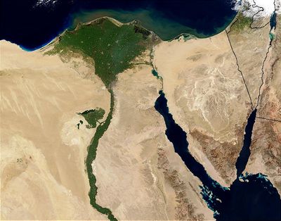
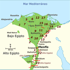
Nile Delta, River delta in Northern Egypt.
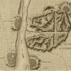
The Nile Delta is a river delta in northern Egypt that extends 240 kilometers (150 miles) from Cairo to the Mediterranean Sea and is shaped by numerous waterways and fertile deposits. The triangular landmass is crossed by two main branches that divide into smaller canals and irrigation ditches.
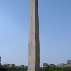
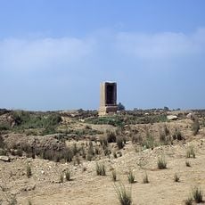
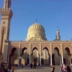
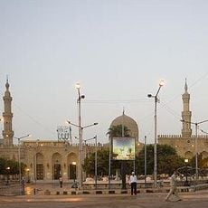
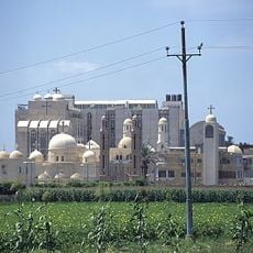
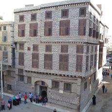
Civilizations have settled here for over 5000 years, using the river's annual floods for agriculture. The fertile soil enabled the rise of cities and trade routes that connected the entire eastern Mediterranean.
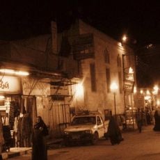
The name comes from the Greek letter delta because the triangular shape resembles that symbol. Traveling through the canals and fields, you see small bridges everywhere, flat boats, and farmers working their plots.
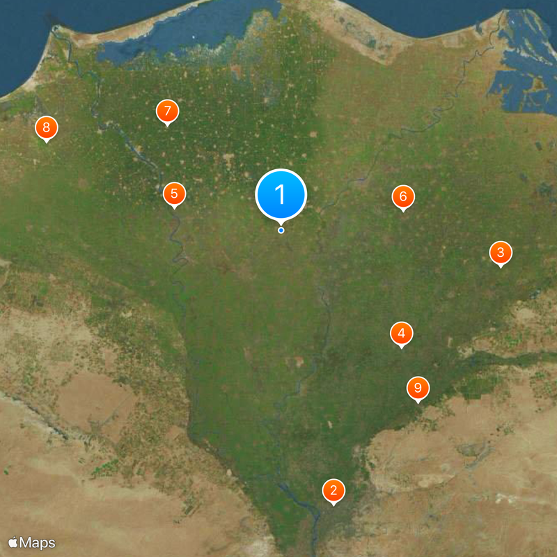
The area is managed by ten different administrative units, which sometimes makes navigation harder. Visitors planning to explore the rural sections should expect narrow roads and heavy traffic on main routes.
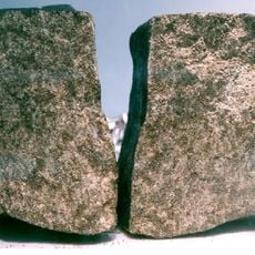
Today the river flows through two main branches, Damietta and Rosetta, but old accounts mention seven large distributaries. The Rosetta branch gave its name to the famous stone discovered near its mouth in 1799.
The community of curious travelers
AroundUs brings together thousands of curated places, local tips, and hidden gems, enriched daily by 60,000 contributors worldwide.