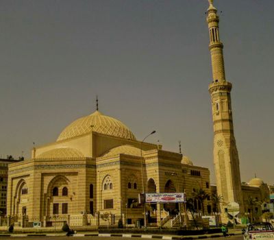
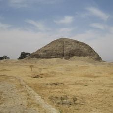
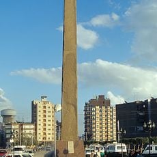
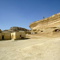
6th of October Governorate, Administrative division in Egypt
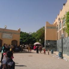
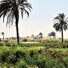
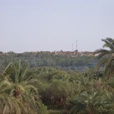
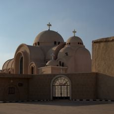
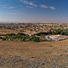
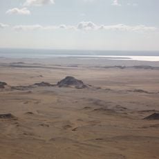
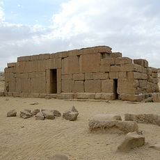
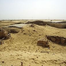
This governorate spreads across desert terrain with portions of the Nile Valley's left bank north and south of the Giza region. It contains multiple industrial zones, schools and universities, and the Bahariya Oasis, all linked together by roads and transportation routes connecting to Greater Cairo.
This governorate was established on April 17, 2008, through a presidential decision aimed at reducing overcrowding in Giza. It was later merged back into Giza Governorate in 2011.
The name refers to Egypt's military crossing of the Suez Canal on October 6, 1973, a date celebrated annually as Egypt's Armed Forces Day. This historical connection shapes how locals understand their region and its place in the nation's story.
The area is accessible by various transportation routes that connect from Greater Cairo to the industrial zones and toward the Bahariya Oasis. Visitors should prepare for hot, dry weather and plan activities accordingly depending on whether traveling to developed areas or desert regions.
This territory sits where latitude and longitude coordinates align closely, at roughly 29.26 degrees north and 29.67 degrees east. This rare geographic characteristic makes it a notable point for map enthusiasts and geographic observation.
The community of curious travelers
AroundUs brings together thousands of curated places, local tips, and hidden gems, enriched daily by 60,000 contributors worldwide.