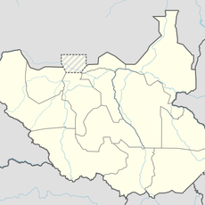
Borena Zone, Administrative zone in southern Oromia Region, Ethiopia
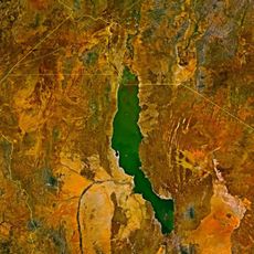
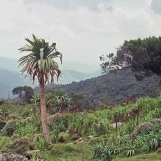
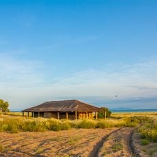
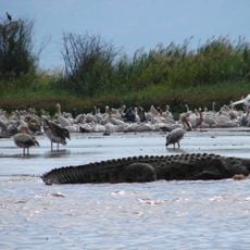
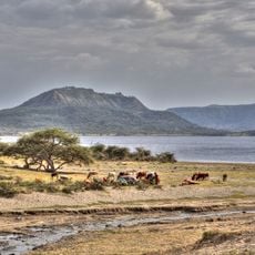
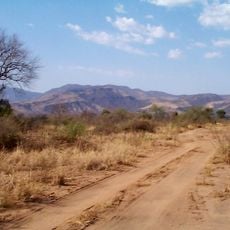
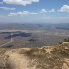
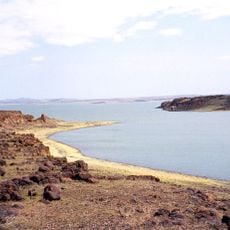
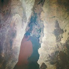
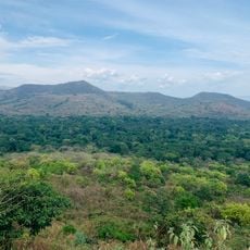
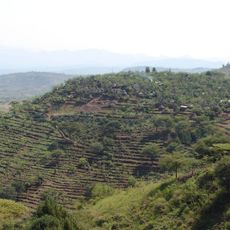
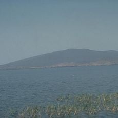
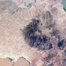
Borena Zone is an administrative zone in the southern part of Oromia Region, sharing a border with Kenya to the south. The terrain shifts between semi-arid lowlands and higher plateaus, with scattered towns and pastoral land spread across a wide, dry expanse.
The zone was formally established as part of Ethiopia's federal reorganization in the late 1990s. In 2003, portions were split off to form a separate administrative unit, which set the boundaries that largely define the zone today.
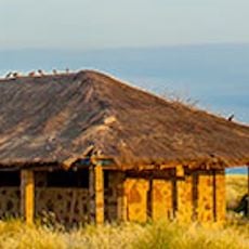
The people here speak Oromo as their main language and follow Protestant Christianity alongside traditional beliefs that shape community gatherings and celebrations. These faith practices influence how settlements are organized and how people mark important occasions throughout the year.
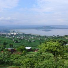
Travel through the zone is easiest from December to February, when roads are at their most passable and the heat is less intense. The main town of Yabello offers basic services, but beyond it, facilities become sparse and planning ahead is important.
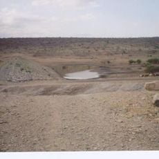
Traditional deep cisterns known in Oromo as Ella have been used as water sources in the drier lowlands for generations. These hand-dug structures can reach several meters down and are still in daily use by herders across the zone.
The community of curious travelers
AroundUs brings together thousands of curated places, local tips, and hidden gems, enriched daily by 60,000 contributors worldwide.