Jinka, Market town in Debub Omo Zone, Ethiopia.
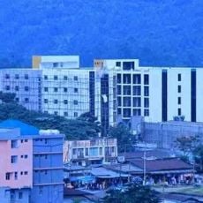
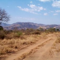
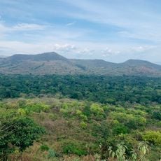
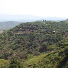
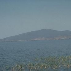
Jinka is an administrative center in southern Ethiopia, located at 1490 meters elevation in the Tama Plains hills near the borders of Sudan and Kenya. The town serves as a hub for the surrounding region, providing basic services and accommodations for people traveling through the area.
The town began as a regional trading post and later developed into the capital of the Ari Zone. Electricity became available around the clock in 2009, marking a significant step forward for local infrastructure.
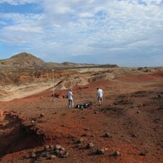
The South Omo Research Center and Museum here showcases the traditions and daily lives of many local ethnic groups through artifacts and displays. Visitors can learn how different communities in the region maintain their distinct practices and ways of living.
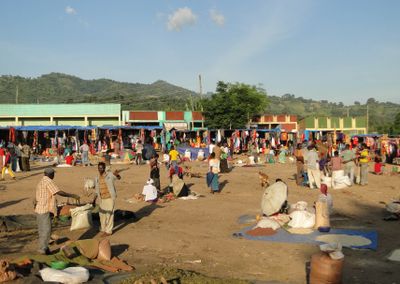
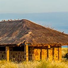
Saturday is market day, when local merchants gather to sell fresh products and goods from the surrounding region. The town has banks, a hospital, and several guesthouses, making it a convenient stop for travelers heading to or from the lower Omo Valley.
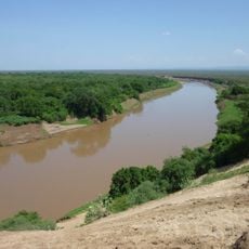
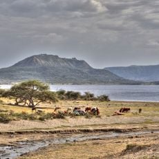
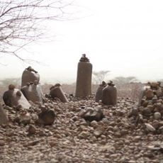
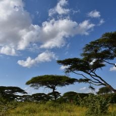
The surrounding region is home to the Mursi people, who maintain body modification traditions, and the acacia forests of Mago National Park shelter wildlife and rare plants. This combination makes the area distinctive for its blend of cultural practices and natural habitats.
The community of curious travelers
AroundUs brings together thousands of curated places, local tips, and hidden gems, enriched daily by 60,000 contributors worldwide.