Enable Location

We need your location to show you interesting places around you

Discover nearby places

Find interesting locations and hidden gems around you

Precise directions

Get accurate directions and distances to places

Your location is never shared with other users. It's only used when you tap the location button.

Sangli district

Log in to your account

Start exploring — it's free

Trusted by 62,884 travelers worldwide

Continue with Google
Continue with Apple
or

We will send you a code to connect

By continuing, you accept our Terms and Conditions and our Privacy Policy

Check your inbox

We've sent a pincode in your inbox. Please enter the code below.

Discussion Reviews 2 Photos
49.8k Popularity

Sangli district, Administrative district in Maharashtra, India

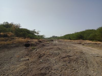
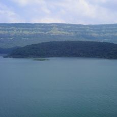
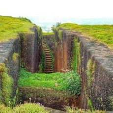
Sangli is an administrative district in the Pune region that extends across rolling terrain with multiple river systems. The landscape displays a patchwork of sugar cane fields, scattered woodlands, and irrigated farming areas interspersed between settlements.

The district formed in 1949 from parts of the former Satara District and received its current name in 1960. Its boundaries took shape through the consolidation of administrative territories following India's independence.

Sugar cane dominates the landscape and the local economy, with mills forming the backbone of many communities here. The crop shapes how people work and live across the region.

The district is accessible via National Highways NH-4 and NH-204, which connect to major cities across Maharashtra. The nearest airport provides air links for travelers arriving from distant regions.

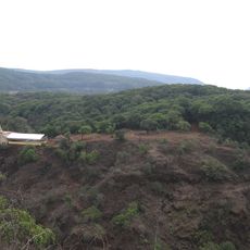
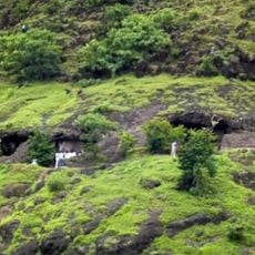
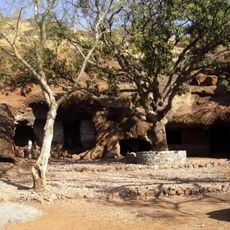
The district contains Sagareshwar Wildlife Sanctuary, a created forest where numerous animal and plant species were deliberately introduced for conservation. This project represents a rare example of intentionally designed nature in the region.

The community of curious travelers

AroundUs brings together thousands of curated places, local tips, and hidden gems, enriched daily by 60,000 contributors worldwide.

Start exploring
Location
Capital city
Sangli
Shares border with
Ratnagiri district, Belagavi district
GPS coordinates
16.86000,74.57000
Latest update
December 14, 2025 18:47
« Sangli district - Administrative district in Maharashtra, India » is provided by Around Us (aroundus.com). Images and texts are derived from Wikimedia project under a Creative Commons license. You are allowed to copy, distribute, and modify copies of this page, under the conditions set by the license, as long as this note is clearly visible.

Discover hidden gems everywhere you go!

From secret cafés to breathtaking viewpoints, skip the crowded tourist spots and find places that match your style. Our app makes it easy with voice search, smart filtering, route optimization, and insider tips from travelers worldwide. Download now for the complete mobile experience.

Around Us App Screenshot

A unique approach to discovering new places

Le Figaro

All the places worth exploring

France Info

A tailor-made excursion in just a few clicks

20 Minutes

Around Us
Travel Guide & Maps
Download

Send to your phone

QR Code
1

Open the camera app on your mobile.

2

Point at the QR code with your camera. A notification will appear.

3

Tap the notification to open the link.