Enable Location

We need your location to show you interesting places around you

Discover nearby places

Find interesting locations and hidden gems around you

Precise directions

Get accurate directions and distances to places

Your location is never shared with other users. It's only used when you tap the location button.

Valbondione

Log in to your account

Start exploring — it's free

Trusted by 63,439 travelers worldwide

Continue with Google
Continue with Apple
or

We will send you a code to connect

By continuing, you accept our Terms and Conditions and our Privacy Policy

Check your inbox

We've sent a pincode in your inbox. Please enter the code below.

Discussion Reviews 1 Photos
17.9k Popularity

Valbondione, Italian comune

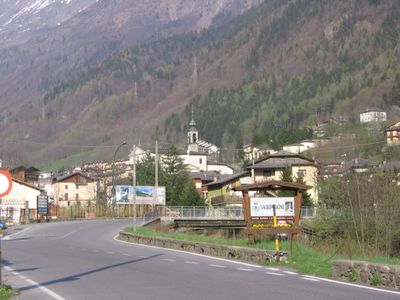
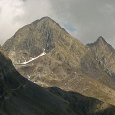
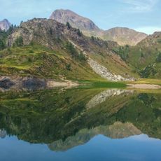
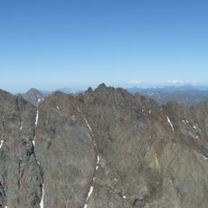
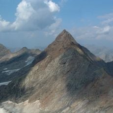
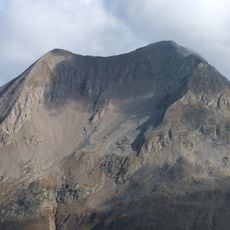
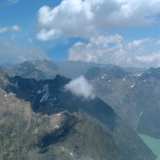
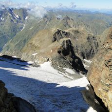
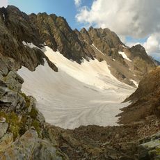
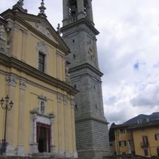
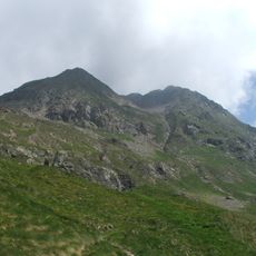
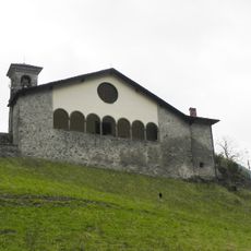
Valbondione is a small commune in the province of Bergamo made up of scattered villages led by the main town of Bondione. The territory sits above 900 meters in elevation and is defined by steep mountains and green meadows, with most buildings constructed in simple Alpine style and traditionally used for livestock farming or now serving visitors.

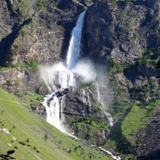
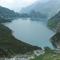
Valbondione has very old roots with its exact founding date lost to time, with settlements reaching back centuries. In 1931 the Barbellino dam was built, which altered the natural flow of the Serio river, yet multiple times per year water is released creating the spectacular falls that early 15th-century craftsmen in nearby villages like Gromo are said to have drawn inspiration from.

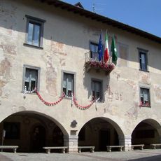
The name comes from the valley and its main settlement, Bondione. Traditional mountain architecture with simple stone houses and narrow streets shapes the village character and reflects the historical connection of residents to Alpine farming and pastoral life.

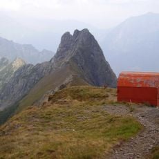
The area is easy to explore on foot and walking trails are well marked with many routes of varying difficulty depending on your destination such as the two-and-a-half-hour hike to the waterfalls or the half-hour walk to Maslana village. The climate is cool even in summer with cold evenings, so layered clothing is recommended, and sturdy footwear is wise to bring along.

A metal sword known as the Excalibur of the Orobie is stuck into rock near the Barbellino dam, placed there in 2016 by local artist Matteo Rodari. The sword bears initials and a date evoking the medieval craftsmanship tradition of the area, linked to a local legend about a noblewoman and a shepherd.

The community of curious travelers

AroundUs brings together thousands of curated places, local tips, and hidden gems, enriched daily by 60,000 contributors worldwide.

Start exploring
Elevation above the sea
900 m
Shares border with
Gandellino, Gromo, Carona, Piateda, Ponte in Valtellina, Vilminore di Scalve, Teglio
GPS coordinates
46.03778,10.01306
Latest update
February 17, 2026 00:20
Reviews
Share your experience

No review yet

Discussions
Start a discussion...

No discussion yet

« Valbondione - Italian comune » is provided by Around Us (aroundus.com). Images and texts are derived from Wikimedia project under a Creative Commons license. You are allowed to copy, distribute, and modify copies of this page, under the conditions set by the license, as long as this note is clearly visible.

Discover hidden gems everywhere you go!

From secret cafés to breathtaking viewpoints, skip the crowded tourist spots and find places that match your style. Our app makes it easy with voice search, smart filtering, route optimization, and insider tips from travelers worldwide. Download now for the complete mobile experience.

Around Us App Screenshot

A unique approach to discovering new places

Le Figaro

All the places worth exploring

France Info

A tailor-made excursion in just a few clicks

20 Minutes

Around Us
Travel Guide & Maps
Download

Send to your phone

QR Code
1

Open the camera app on your mobile.

2

Point at the QR code with your camera. A notification will appear.

3

Tap the notification to open the link.