
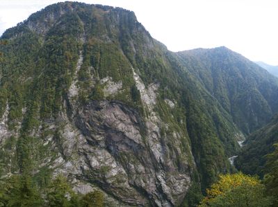
Mount Okukane, mountain in Kurobe, Toyama, Japan
Location: Kurobe
Elevation above the sea: 1,543 m
Made from material: granite
GPS coordinates: 36.68828,137.67350
Latest update: March 8, 2025 11:44
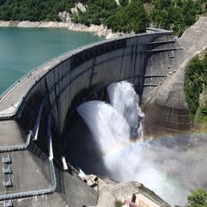
Kurobe Dam
13.6 km
Mount Tsurugi
8.8 km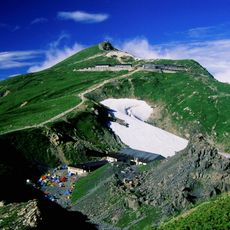
Mount Shirouma
10.9 km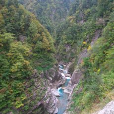
Kurobe Gorge
5 km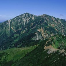
Mount Karamatsu
7.2 km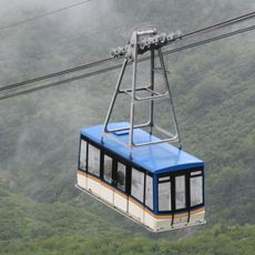
Tateyama Ropeway
13.7 km
Mount Harinoki
16.8 km
Tateyama Volcano
13.7 km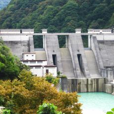
Unazuki Dam
15.4 km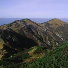
Mount Dainichi
14.8 km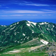
Mount Asahi
16.2 km
Tateyama Murodō
13.9 km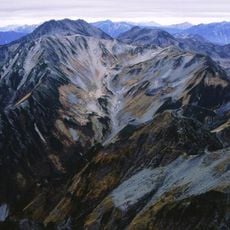
Mount Bessan
11.2 km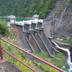
Dashidaira Dam
9.8 km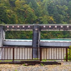
Koyadaira Dam
3.3 km
Mount Okudainichi
13 km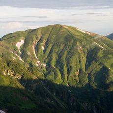
Mount Yukikura
13.9 km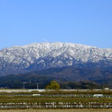
Mount Sōgadake
12.8 km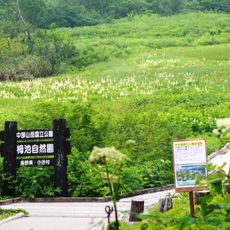
Tsugaike Nature Park
15.7 km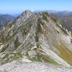
Mount Subari
16.1 km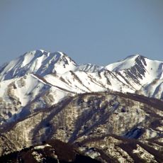
Etchū Komagatake
10.6 km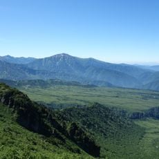
Dainichidaira
16.8 km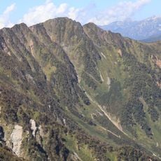
Mount Narusawa
13.4 km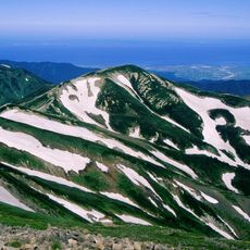
Mount Hachi
12.3 km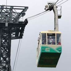
Tsugaike Ropeway
16.4 km
Kurobe Cable Car
13.6 km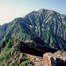
Mount Goryu
7.8 km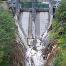
Sennindani Dam
4.4 kmVisited this place? Tap the stars to rate it and share your experience / photos with the community! Try now! You can cancel it anytime.
Discover hidden gems everywhere you go!
From secret cafés to breathtaking viewpoints, skip the crowded tourist spots and find places that match your style. Our app makes it easy with voice search, smart filtering, route optimization, and insider tips from travelers worldwide. Download now for the complete mobile experience.

A unique approach to discovering new places❞
— Le Figaro
All the places worth exploring❞
— France Info
A tailor-made excursion in just a few clicks❞
— 20 Minutes