Chest opened
+${chestReward.xp} XP
Explorer
NOUVEAU ×${chestReward.collectible.quantity}
tapez pour fermer

See the monuments around you in AR Open chests in the app

Around Us is built for your phone — point your camera at the streets and discover the monuments and places around you in augmented reality. Around Us is built for your phone — chests unlock when you walk, explore and capture nearby places.

•

Enable Location

We need your location to show you interesting places around you

Discover nearby places

Find interesting locations and hidden gems around you

Precise directions

Get accurate directions and distances to places

Your location is never shared with other users. It's only used when you tap the location button.

Osutaka Ridge

Log in to your account

Start exploring — it's free

Trusted by 94,001 travelers worldwide

Continue with Google
Continue with Apple
or

We will send you a code to connect

By continuing, you accept our Terms and Conditions and our Privacy Policy

Check your inbox

We've sent a pincode in your inbox. Please enter the code below.

Osutaka Ridge

Osutaka Ridge, Memorial ridge in Ueno, Japan

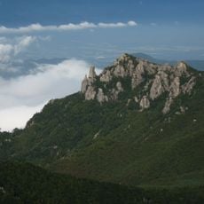
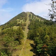
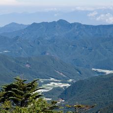
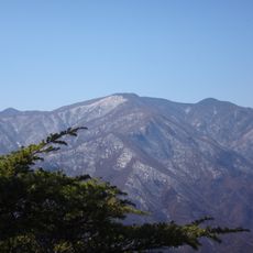
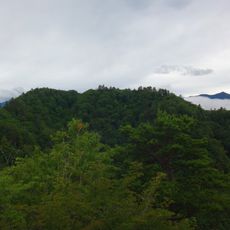
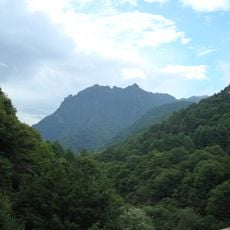
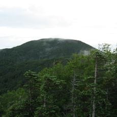
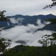
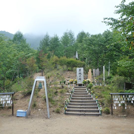
Osutaka Ridge is a ridge on Mount Takamagahara in Ueno, Gunma Prefecture, reached by a 800-metre trail with a 180-metre elevation gain from the Sugeno-sawa trailhead. At the top stands the Shōkon-no-hi memorial stele, a tall light-grey stone block with a rounded top and four vertical black characters, set before grey wooden-edged steps with railings and a hanging bell on a metal frame.

On 12 August 1985 a Japan Airlines Boeing 747 on domestic flight 123 crashed on the ridge of Mount Takamagahara, killing 520 people. The site was named Osutaka Ridge by Ueno village mayor Takeo Kurosawa at the request of the Gunma prefectural police, who needed a name for official documents. The memorial stele Shōkon no Hi was unveiled on 1 August 1986, donated by volunteers from the Tano district of Gunma.

The name Osutaka Ridge was chosen by Ueno village mayor Takeo Kurosawa after the 1985 crash, when the prefectural police asked him to name the site for official documents; it is not the ridge of Mount Osutaka. Each year on August 11, lanterns are floated on the Kanna River at 18:56, the moment of the crash, and on August 12 a memorial climb takes place.

No public transport reaches the trailhead; access is by car, about 40 minutes from the Memorial Park and roughly an hour from the Shimonita interchange. From the Suge-no-sawa trailhead the path to the monument climbs 800 metres with 180 metres of elevation gain, about 30 minutes on foot. The trail is closed in winter from 15 November to 28 April.

The ridge was named by Ueno village mayor Takeo Kurosawa after the police asked for a name for official documents; despite the characters used, it is not the ridge of Mount Osutaka. The memorial stele was donated by volunteers from the Tano district of Gunma and unveiled on 1 August 1986.

The community of curious travelers

AroundUs brings together thousands of curated places, local tips, and hidden gems, enriched daily by 94,001 contributors worldwide.

Start exploring
Location
GPS coordinates
36.00071,138.69476
Latest update
October 30, 2026 16:34
Reviews
Share your experience

No review yet

Discussions
Start a discussion...

No discussion yet

« Osutaka Ridge - Memorial ridge in Ueno, Japan » is provided by Around Us (aroundus.com). Images and texts are derived from Wikimedia project under a Creative Commons license. You are allowed to copy, distribute, and modify copies of this page, under the conditions set by the license, as long as this note is clearly visible.

Discover hidden gems everywhere you go!

From secret cafés to breathtaking viewpoints, skip the crowded tourist spots and find places that match your style. Our app makes it easy with voice search, smart filtering, route optimization, and insider tips from travelers worldwide. Download now for the complete mobile experience.

Around Us App Screenshot
❝

A unique approach to discovering new places❞

— Le Figaro

❝

All the places worth exploring❞

— France Info

❝

A tailor-made excursion in just a few clicks❞

— 20 Minutes

Around Us
Travel Guide & Maps
Download

Send to your phone

QR Code
1

Open the camera app on your mobile.

2

Point at the QR code with your camera. A notification will appear.

3

Tap the notification to open the link.