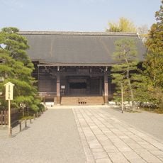
Narabigaoka, Inselberg in Ukyō-ku, Japan
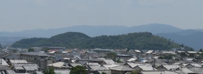
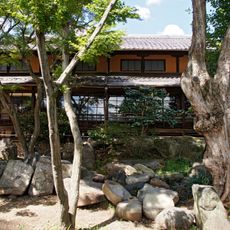
Narabigaoka is an inselberg in Kyoto formed by three connected hills rising approximately 116 feet (35 meters) above the surrounding basin. The natural landmark stands in the northwestern part of the city and offers views across the landscape from its slopes.
When Emperor Kanmu established Heian-kyo as the imperial capital in 794, the position of this hill played a key role in orienting the palace. The geographical location shaped how the ancient capital was planned.
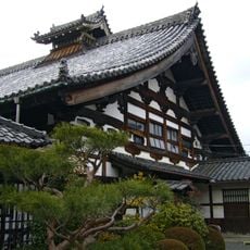
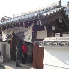
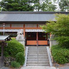
The site holds remains from the late Kofun period, including 24 burial mounds connected to the Hata clan who once controlled the Uzumasa region. These archaeological traces show how important this place was to local people over many generations.
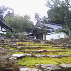
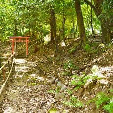
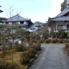
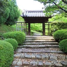
The hills are reachable in minutes from JR Hanazono Station or Murasakino Station, with trails leading to lookout points offering city views. The paths are well-maintained and can be walked at a comfortable pace.
The hill served as a reference point for establishing the central axis of ancient Kyoto's urban design. This practical use of a natural landmark shows how the city's ancient planners incorporated the surrounding landscape into their layout.
The community of curious travelers
AroundUs brings together thousands of curated places, local tips, and hidden gems, enriched daily by 60,000 contributors worldwide.