Ukyō Ward, Administrative ward in Kyoto, Japan.
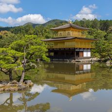
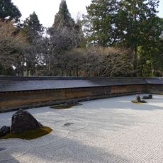
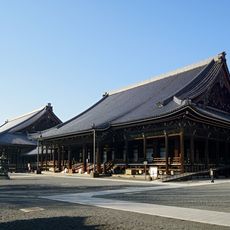
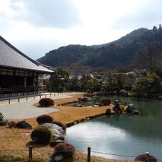
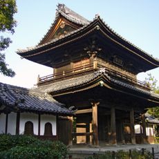
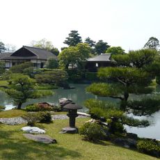
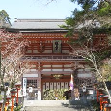
Ukyō covers mountains, river valleys, and residential neighborhoods in the northwestern part of the city. The area stretches from densely built urban edges to forested highlands with villages and temple complexes.
The administrative unit formed in 1931 through the merger of several villages west of the old city center. In 2005, the rural Keihoku area was incorporated, greatly increasing the size.
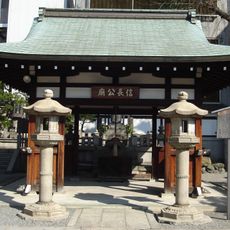
The name comes from the ward's location west of the imperial palace, which meant "right" in the old capital layout. Locals still refer to different parts using traditional area names that predate the modern ward system.
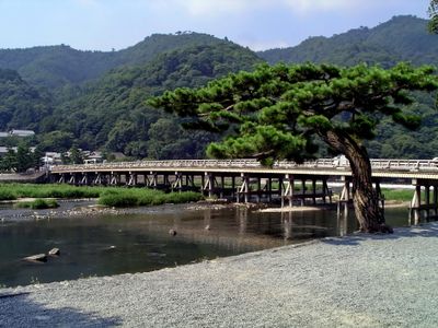
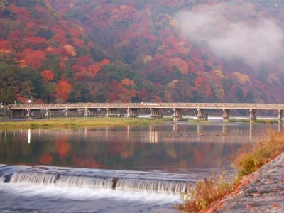
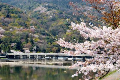
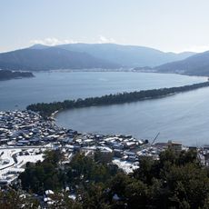
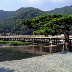
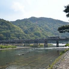
The Katsura River runs through several neighborhoods, connecting residential areas with the outer districts. Many roads follow the riverbanks and hillsides, making orientation easier.
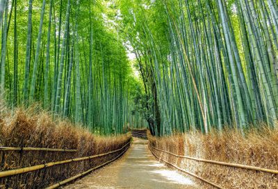
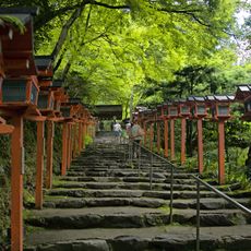
In Sagano, a small railway runs through forests and along mountain slopes. The route shows landscapes that change dramatically with the seasons.
The community of curious travelers
AroundUs brings together thousands of curated places, local tips, and hidden gems, enriched daily by 60,000 contributors worldwide.