Fudō Taki, Wasserfall in Japan
Location: Kanagawa Prefecture
Elevation above the sea: 212 m
GPS coordinates: 35.15329,139.06785
Latest update: April 3, 2025 23:42


MOA Museum of Art
4.9 km
Izusan Shrine
4.4 km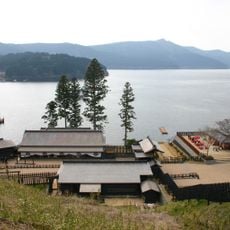
Hakone Barrier
5.8 km
Jukkokutōge Cable Car
3.8 km
Omiya's Pine Tree
6.1 km
Nishimura Kyotaro Museum
2.6 km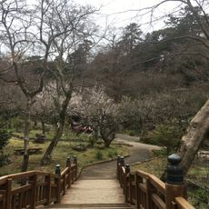
Atami Baien
6.3 km
Onshi Hakone Park
6.1 km
Atami Daiichi Building
5.7 km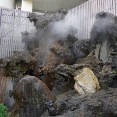
Ōyu Geyser
6.2 km
Man'yō Park
987 m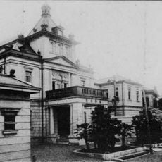
Nanki Bunko
4.9 km
Gosho Shrine
2.7 km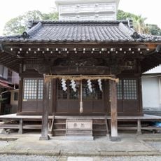
Yuzen Shrine
6.1 km
Sōshisha
6.4 km
Shinsui Park
6.6 km
Maku Yama
3.1 km
Jōgan-ji
3.2 km
Makuyama Park
2.4 km
Hakone Ekiden Museum
5.6 km
Arai Castle Ruins Park
6 km
Atami City Library
6.1 km
Azusawakejinja-no-Okusu
5.9 km
Koa Kannon
4.5 km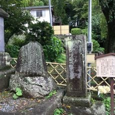
黑田長政供養之碑
5.7 km
Ryūmon-ji
6.5 km
Yugawara Art Museum
639 m
Yamagami no Jusō
3.5 kmReviews
Visited this place? Tap the stars to rate it and share your experience / photos with the community! Try now! You can cancel it anytime.
Discover hidden gems everywhere you go!
From secret cafés to breathtaking viewpoints, skip the crowded tourist spots and find places that match your style. Our app makes it easy with voice search, smart filtering, route optimization, and insider tips from travelers worldwide. Download now for the complete mobile experience.

A unique approach to discovering new places❞
— Le Figaro
All the places worth exploring❞
— France Info
A tailor-made excursion in just a few clicks❞
— 20 Minutes