
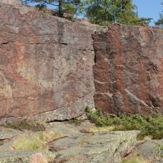
Vibyggerå 138:1, stensättning i Ångermanland
Location: Kramfors Municipality
GPS coordinates: 63.05469,18.48138
Latest update: May 15, 2025 10:54
High Coast
6.9 km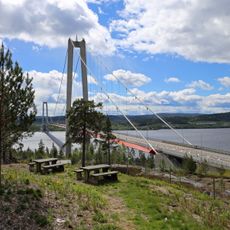
Höga Kusten Bridge
39.7 km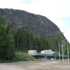
Skuleberget
7 km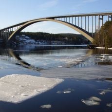
Sandö Bridge
36 km
Örnsköldsvik Municipality
28.1 km
Slåttdalsskrevan
6 km
Mannaminne
18.3 km
Hemsö Fortress
44.9 km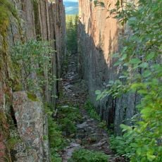
Skuleskogen National Park
6.3 km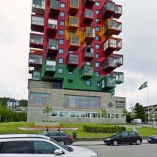
Ting1
28.7 km
Härnösand Cathedral
54.5 km
Själevad Church
27.3 km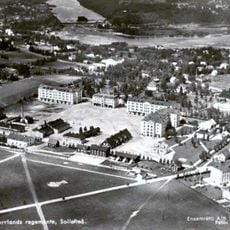
Sollefteå Garrison
61 km
Minnesmärke över de stupade i Ådalen 1931
36.3 km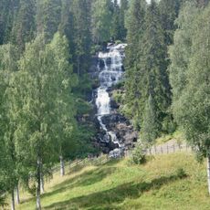
Västanåfallet
64.7 km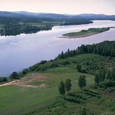
Styresholm
36.4 km
Österåsens hälsohem
67.6 km
Skagsudde lighthouse
30.7 km
Genesmon
24.3 km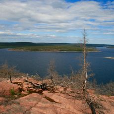
Balesudden
16.8 km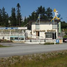
Wästerlunds konditori
36.5 km
Olofsfors blast furnace
75.9 km
Paradisbadet
28.6 km
Sollefteå
63.7 km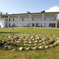
Murberget Länsmuseet Västernorrland
53.7 km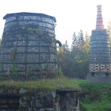
The iron factory Lögdö bruk
78.6 km
Själevad parish
25 km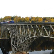
Forsmo Bridge
68.9 kmReviews
Visited this place? Tap the stars to rate it and share your experience / photos with the community! Try now! You can cancel it anytime.
Discover hidden gems everywhere you go!
From secret cafés to breathtaking viewpoints, skip the crowded tourist spots and find places that match your style. Our app makes it easy with voice search, smart filtering, route optimization, and insider tips from travelers worldwide. Download now for the complete mobile experience.

A unique approach to discovering new places❞
— Le Figaro
All the places worth exploring❞
— France Info
A tailor-made excursion in just a few clicks❞
— 20 Minutes