Bukit Timah, Planning area in Central Region, Singapore
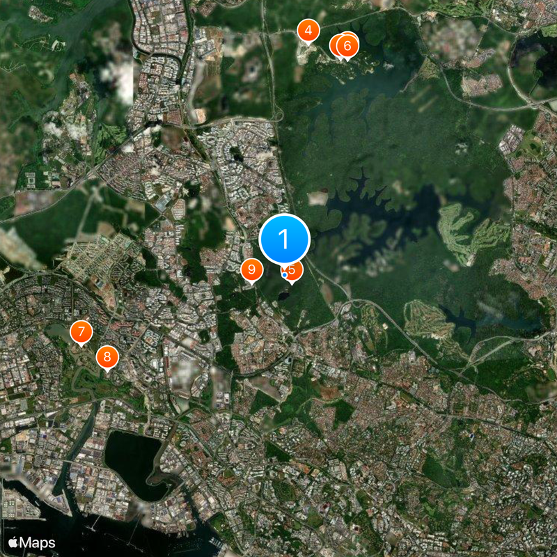
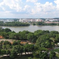
Bukit Timah is a planning area in Singapore's Central Region divided into eight subzones such as Ulu Pandan, Holland Road, and Coronation Road. The area covers roughly 17.53 square kilometers and forms a large town with diverse residential neighborhoods.
The area became known during British colonial times as a center for rubber plantations, with construction of its main road starting in 1843. This period shaped the region's early development and layout.
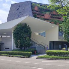
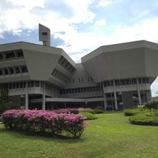
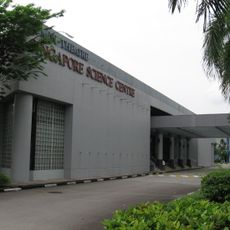
The area is home to many schools and universities that shape it as an educational hub. Students and families are a visible part of daily life throughout the neighborhoods.
Seven MRT stations across two lines connect the area to other parts of Singapore, including stops at Beauty World, Farrer Road, and Holland Village. Public transport makes it easy to get around and beyond the neighborhoods.
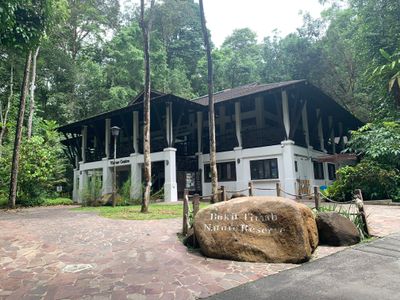
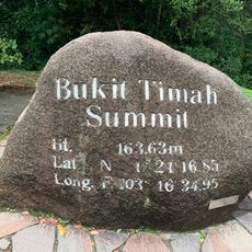
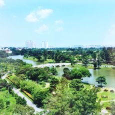
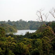
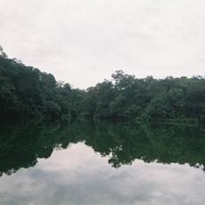
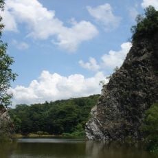
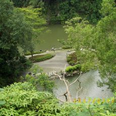
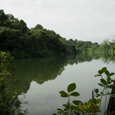
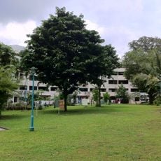
The area contains Singapore's highest natural point at around 163 meters. Multiple walking trails wind through protected forest reserves, making this a special spot for nature within the city.
The community of curious travelers
AroundUs brings together thousands of curated places, local tips, and hidden gems, enriched daily by 60,000 contributors worldwide.