
Sivri Tepesi, Berggipfel in der Türkei
Location: Artvin Province
Elevation above the sea: 2,976 m
GPS coordinates: 41.02972,41.47889
Latest update: March 23, 2025 09:41
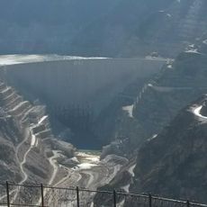
Deriner Dam
36.4 km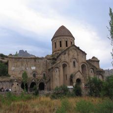
Oshki
46.6 km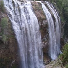
Tortum Waterfall
44.1 km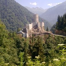
Zilkale
44.1 km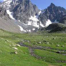
Kaçkar Dağı
34.4 km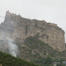
Ardanuç Castle
49.5 km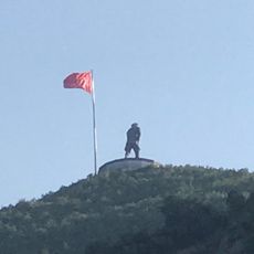
Atatürk Monument
33.3 km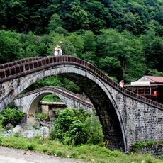
Çifte Bridge
28.8 km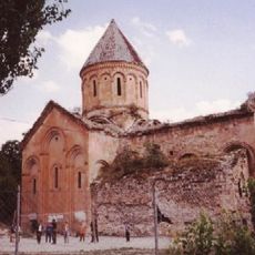
Ishkhani
35.3 km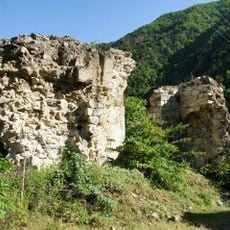
Opiza
51.4 km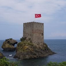
Kiz Kulesi, Rize
53.5 km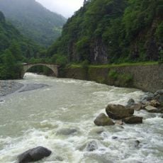
Şenyuva Bridge
42.5 km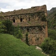
Otkhta Eklesia
24 km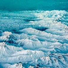
Kaçkar Mountains National Park
36.9 km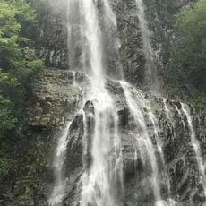
Mençuna Waterfall
27.2 km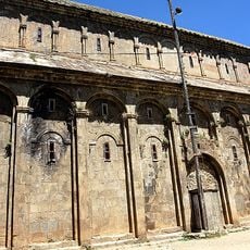
Parkhali
10.4 km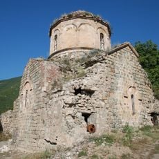
Doliskana
42.5 km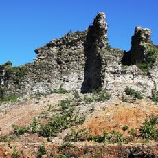
Fortress of Jikha
49.3 km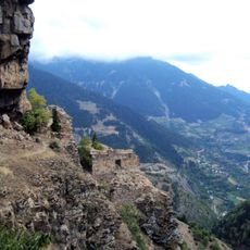
Parekhi
49.5 km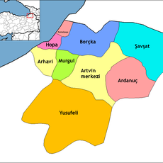
Hopa District
39.7 km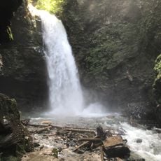
Palovit Waterfall
42 km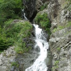
Tar Deresi Bulut Waterfall
33.8 km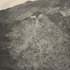
Berta monastery
48.8 km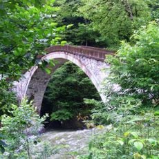
Mikron Bridge
38.1 km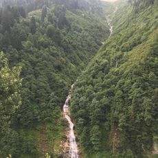
Gelintülü Waterfall
32.2 km
Mamatsminda Kilisesi
39.3 km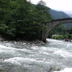
Çamlıhemşin Ham bridge
39.7 km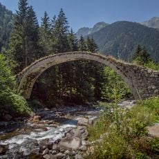
Çat Bridge
48.2 kmReviews
Visited this place? Tap the stars to rate it and share your experience / photos with the community! Try now! You can cancel it anytime.
Discover hidden gems everywhere you go!
From secret cafés to breathtaking viewpoints, skip the crowded tourist spots and find places that match your style. Our app makes it easy with voice search, smart filtering, route optimization, and insider tips from travelers worldwide. Download now for the complete mobile experience.

A unique approach to discovering new places❞
— Le Figaro
All the places worth exploring❞
— France Info
A tailor-made excursion in just a few clicks❞
— 20 Minutes