Enable Location

We need your location to show you interesting places around you

Discover nearby places

Find interesting locations and hidden gems around you

Precise directions

Get accurate directions and distances to places

Your location is never shared with other users. It's only used when you tap the location button.

Wedding

Log in to your account

Start exploring — it's free

Trusted by 61,583 travelers worldwide

Continue with Google
Continue with Apple
or

We will send you a code to connect

By continuing, you accept our Terms and Conditions and our Privacy Policy

Check your inbox

We've sent a pincode in your inbox. Please enter the code below.

Wedding, Residential district in northern Berlin, Germany

Description

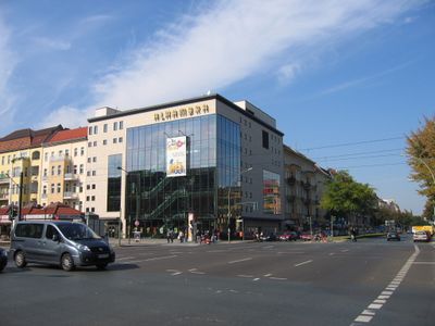
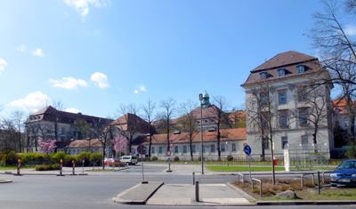
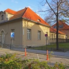
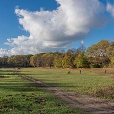
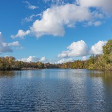
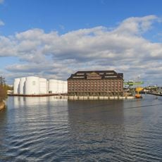
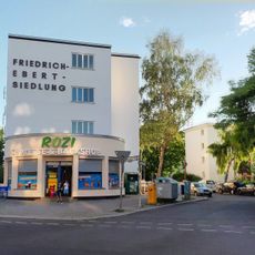
Wedding is an area in the Mitte district of northern Berlin that stretches from Humboldthain to Plötzensee and is crossed by the small Panke River. The neighborhood combines tenement blocks from imperial times with postwar housing and recent construction projects, interspersed with parks, sports facilities, and small commercial strips along the main roads.

History

The territory emerged in the 13th century as the estate of nobleman Rudolf de Weddinge and remained rural until the second half of the 19th century. With the construction of railway lines and the arrival of factories, the population grew rapidly, and the village turned into a dense working-class district that became part of Greater Berlin in 1920.

Culture

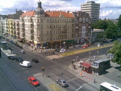
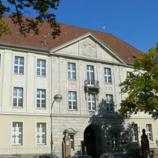
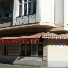
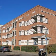
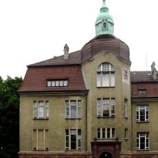
The neighborhood takes its name from Rudolf de Weddinge, a medieval landowner whose estate became the seed of the later settlement. Around Leopoldplatz and Nettelbeckplatz, streets filled with tenement buildings for workers starting in the 1870s, and their facades still shape the streetscape and reflect the dense construction style of that era.

Practical

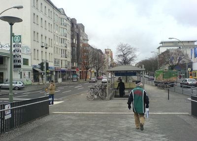
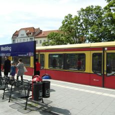
The area is well connected by several underground lines and a section of the Ringbahn, making it quick to reach the center and other parts of the city. Many shops and cafes are concentrated along Müllerstraße and Badstraße, where you also find weekly markets and smaller public squares.

Did you know?

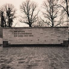
On Bernauer Strasse, residents jumped from the windows of their homes to escape from East to West Berlin in the first weeks after the wall went up in August 1961. The buildings stood right on the border, and the doors were already blocked, so the windows became the only way out.

Elevation above the sea
41 m
Shares border with
Gesundbrunnen, Berlin-Mitte, Charlottenburg-Nord, Reinickendorf, Tegel, Moabit
GPS coordinates
52.55000,13.34250
Latest update
December 13, 2025 16:25

AroundUs brings together thousands of curated places, local tips, and hidden gems, enriched daily by 60,000 contributors worldwide. Discover all places nearby (Bezirk Mitte von Berlin).

« Wedding - Residential district in northern Berlin, Germany » is provided by Around Us (aroundus.com). Images and texts are derived from Wikimedia project under a Creative Commons license. You are allowed to copy, distribute, and modify copies of this page, under the conditions set by the license, as long as this note is clearly visible.

Discover hidden gems everywhere you go!

From secret cafés to breathtaking viewpoints, skip the crowded tourist spots and find places that match your style. Our app makes it easy with voice search, smart filtering, route optimization, and insider tips from travelers worldwide. Download now for the complete mobile experience.

Around Us App Screenshot

A unique approach to discovering new places

Le Figaro

All the places worth exploring

France Info

A tailor-made excursion in just a few clicks

20 Minutes

Around Us
Travel Guide & Maps
Download

Send to your phone

QR Code
1

Open the camera app on your mobile.

2

Point at the QR code with your camera. A notification will appear.

3

Tap the notification to open the link.