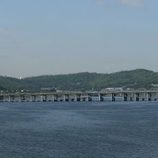
Hangang Bridge, Road bridge in Yongsan District, South Korea
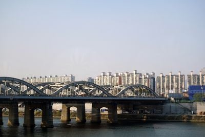
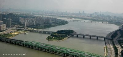
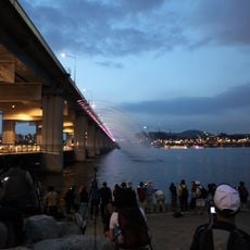
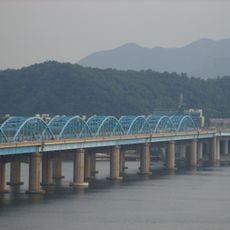
Hangang Bridge is a road bridge spanning the Han River for approximately 1.1 kilometers between Yongsan District and Dongjak District. It has eight traffic lanes for vehicles and sidewalks that also lead to Nodeulseom, an artificial island park situated below the structure.
The bridge was first built as a footbridge in 1917, then destroyed by South Korean forces in 1950 during the Korean War to prevent enemy movement. Its 1954 reconstruction added streetcar tracks, transforming it from a pedestrian-only crossing into a multi-purpose transportation link.
The Korea Meteorological Administration monitors a specific 100-meter section between bridge posts to determine when the Han River officially freezes during winter.
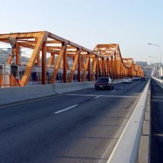
Traffic signals manage both vehicle and pedestrian movement on the structure for safe crossing conditions. Visitors should expect heavy usage during peak hours, particularly in the morning and evening.
A 100-meter section between the bridge supports serves as the official measurement point for the Korea Meteorological Administration to track when the Han River officially freezes each winter. This monitoring practice helps track seasonal changes in the region.
The community of curious travelers
AroundUs brings together thousands of curated places, local tips, and hidden gems, enriched daily by 60,000 contributors worldwide.