Parroquia Valle de Guanape, third-level administrative division in the Municipio Carvajal, Anzoátegui State, Venezuela
Location: Municipio Carvajal
Location: Anzoátegui
Part of: Municipio Carvajal
GPS coordinates: 9.89513,-65.66631
Latest update: March 4, 2025 20:34
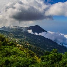
Venezuelan Coastal Range
139.3 km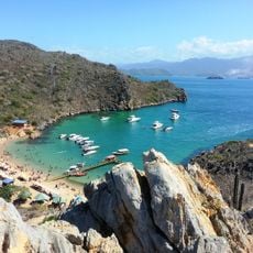
Mochima National Park
153.7 km
Residencia Presidencial La Casona
143.9 km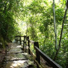
Guatopo National Park
84.7 km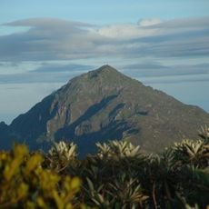
Pico Naiguatá
142 km
Laguna de Tacarigua National Park
46 km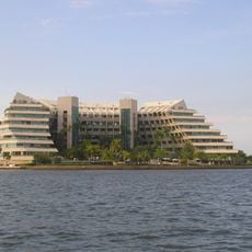
Isla Paraíso
114.2 km
Cerro El Volcán
142.2 km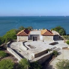
Fort of Magdalena Barcelona
110.2 km
Depresión de Unare
59.2 km
Santuario de la Virgen de Betania
139.8 km
Gimnasio Luis Ramos
115 km
Church of St. Constantine and Helena
139.3 km
Playa Los Caracas
128.7 km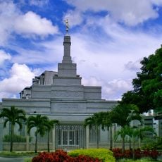
Caracas Venezuela Temple
143.4 km
Morros de Macaira Natural Monument
106.1 km
Sanctuary of Christ of Jose
83.8 km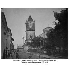
St. Christopher's Cathedral
110.8 km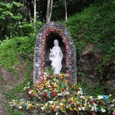
Marian apparitions of Betania
139.8 km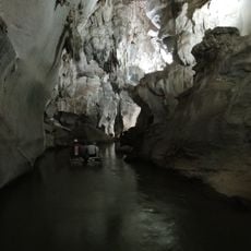
Cuevas del Indio Park
140.9 km
Mansión Borges
139.9 km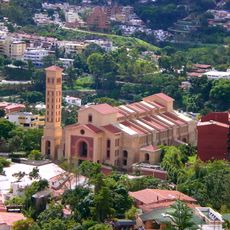
Iglesia de la Sagrada Familia de Nazaret
143.8 km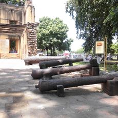
New Catalonia
110.8 km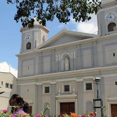
Our Lady of Candelaria Cathedral, Valle de la Pascua
84.5 km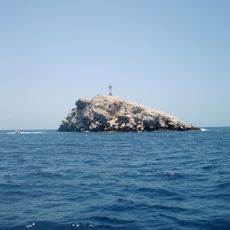
Phare de Farallón Centinela
112.4 km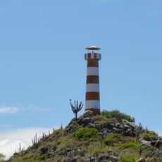
Chimana Segunda Lighthouse
124.4 km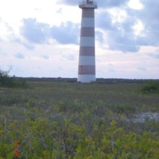
Faro de la Isla La Tortuga (Cayo Herradura)
126.7 km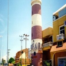
Puerto Píritu Lighthouse
70.8 kmReviews
Visited this place? Tap the stars to rate it and share your experience / photos with the community! Try now! You can cancel it anytime.
Discover hidden gems everywhere you go!
From secret cafés to breathtaking viewpoints, skip the crowded tourist spots and find places that match your style. Our app makes it easy with voice search, smart filtering, route optimization, and insider tips from travelers worldwide. Download now for the complete mobile experience.

A unique approach to discovering new places❞
— Le Figaro
All the places worth exploring❞
— France Info
A tailor-made excursion in just a few clicks❞
— 20 Minutes