
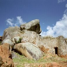
Domboremari, rock formation in Zimbabwe, and motif on Zimbabwean banknotes
Location: Harare Province
Elevation above the sea: 1,530 m
Part of: Balancing Rocks
GPS coordinates: -17.88568,31.12541
Latest update: October 15, 2025 21:46
Great Zimbabwe
266.3 km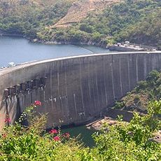
Kariba Dam
293.7 km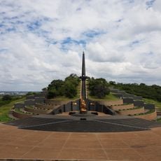
National Heroes Acre
15.6 km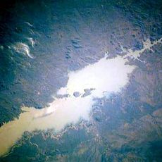
Cahora Bassa Reservoir
258.3 km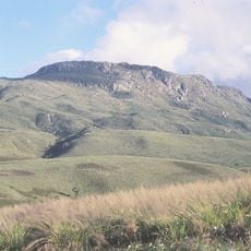
Mount Nyangani
187.4 km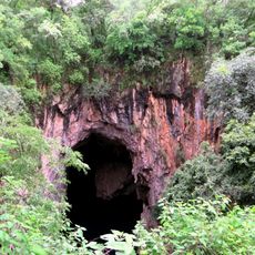
Chinhoyi Caves
121.7 km
Monte Binga
293.2 km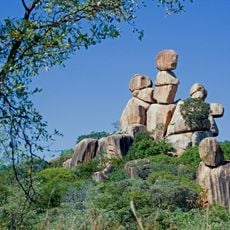
Balancing Rocks
600 m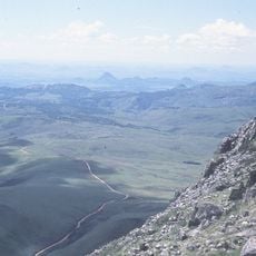
Nyanga National Park
175.8 km
Mutarazi Falls
188.5 km
Lake Mutirikwe
263.3 km
National Gallery of Zimbabwe
10.5 km
Naletale
278.5 km
Lake Chivero
35.5 km
Cathedral of St Mary and All Saints, Harare
10.2 km
Lake Chivero Recreational Park
35.9 km
Zimbabwe Museum of Human Sciences
10.9 km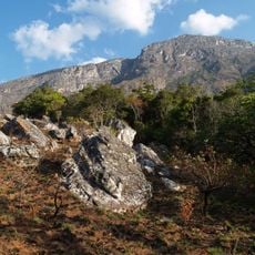
Chimanimani National Reserve
296.6 km
National Botanic Garden
12.2 km
Magoe National Park
227 km
First Floor Gallery Harare
10.5 km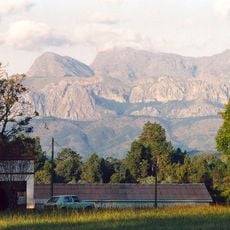
Chimanimani National Park
278.2 km
Angwa Sandstone Formation
203.1 km
Mana Pools National Park, Sapi and Chewore Safari Areas
293.9 km
Antelope Game Park
233.8 km
Mount Zembe
280.5 km
Mutoroshanga Ethel Mine
101.6 km
Cinema Montalto
283.2 kmReviews
Visited this place? Tap the stars to rate it and share your experience / photos with the community! Try now! You can cancel it anytime.
Discover hidden gems everywhere you go!
From secret cafés to breathtaking viewpoints, skip the crowded tourist spots and find places that match your style. Our app makes it easy with voice search, smart filtering, route optimization, and insider tips from travelers worldwide. Download now for the complete mobile experience.

A unique approach to discovering new places❞
— Le Figaro
All the places worth exploring❞
— France Info
A tailor-made excursion in just a few clicks❞
— 20 Minutes