Cochise Trail, Mountain hiking trail in Cochise County, Arizona, US.
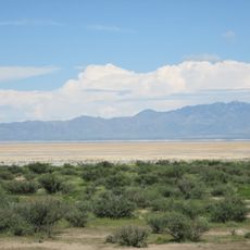
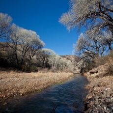
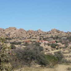
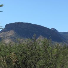
Cochise Trail is a hiking route that winds through diverse terrain within Coronado National Forest, offering views of mountain ridges, valleys, and native plants throughout the journey. The path crosses varying elevations and vegetation zones that change the landscape experience as you move along it.
The trail takes its name from Cochise, an Apache leader who traveled through this mountainous region during the 1800s and played a major role in southwestern history. The route follows paths that Apache communities used for generations as they moved through the mountains.
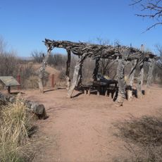
The trail passes through areas that held deep meaning for Apache communities and their way of life in these mountains. Visitors walking here move through the same landscape that shaped generations of indigenous people.
Bring at least two liters of water per person, wear sturdy hiking boots, and check weather conditions before starting your hike. The trail is accessible to hikers with moderate fitness, though proper preparation matters because of the elevation and rocky terrain.
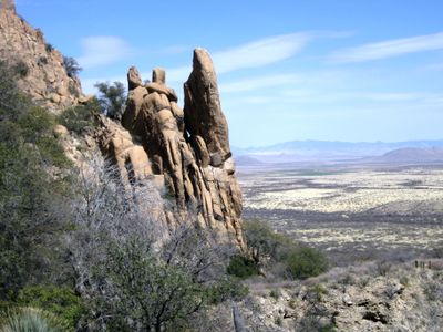
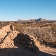
The route passes through sections where granite formations create natural corridors, letting hikers walk between tall rock walls. These geological features give the hike a distinct character different from typical mountain trails.
The community of curious travelers
AroundUs brings together thousands of curated places, local tips, and hidden gems, enriched daily by 60,000 contributors worldwide.