Chest opened
+${chestReward.xp} XP
Explorer
NOUVEAU ×${chestReward.collectible.quantity}
tapez pour fermer

See the monuments around you in AR Open chests in the app

Around Us is built for your phone — point your camera at the streets and discover the monuments and places around you in augmented reality. Around Us is built for your phone — chests unlock when you walk, explore and capture nearby places.

Enable Location

We need your location to show you interesting places around you

Discover nearby places

Find interesting locations and hidden gems around you

Precise directions

Get accurate directions and distances to places

Your location is never shared with other users. It's only used when you tap the location button.

Beatson Falls

Log in to your account

Start exploring — it's free

Trusted by 85,176 travelers worldwide

Continue with Google
Continue with Apple
or

We will send you a code to connect

By continuing, you accept our Terms and Conditions and our Privacy Policy

Check your inbox

We've sent a pincode in your inbox. Please enter the code below.

Beatson Falls
Discussion Reviews 1 Photos
60+ Popularity

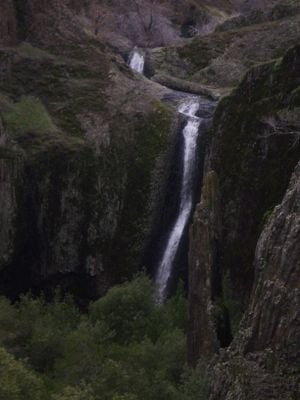
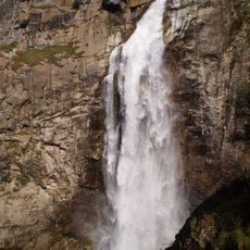
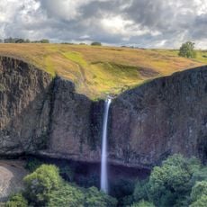
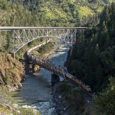
Beatson Falls, Waterfall at Table Mountain, Butte County, California.

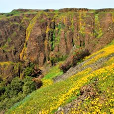
Beatson Falls is a waterfall that flows through Beatson Hollow, a narrow canyon at Table Mountain in Butte County. Water descends through steep rock walls surrounded by thick vegetation and volcanic stone formations.

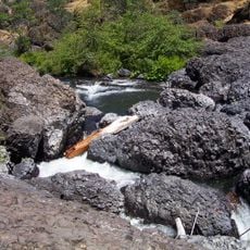
Beatson Falls was shaped by ancient lava flows that carved the Table Mountain landscape millions of years ago. The basalt formations that created this waterfall remain visible in the surrounding geological features today.

Native American tribes of Northern California incorporated this water source into their traditional hunting and gathering territories.

The falls flow most powerfully from December through April when water is most abundant. The paths to viewing areas are clearly marked, though visitors should wear sturdy shoes due to wet and slippery rocks near the cascade.

Wildflowers bloom in spring among the basalt rocks surrounding the waterfall, creating colorful gardens in this volcanic landscape. This seasonal transformation makes the area look quite different depending on when you visit.

The community of curious travelers

AroundUs brings together thousands of curated places, local tips, and hidden gems, enriched daily by 60,000 contributors worldwide.
Start exploring
Location
GPS coordinates
39.59077,-121.58097
Latest update
August 30, 2026 23:39
Around this place
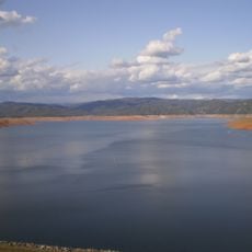
Lake Oroville
United States of America

Lake Oroville

6.9 mi
Bidwell Park
United States of America

Bidwell Park

16.3 mi
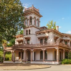
Bidwell Mansion State Historic Park
United States of America

Bidwell Mansion State Historic Park

17.1 mi
New Bullards Bar Dam
United States of America

New Bullards Bar Dam

27.1 mi
Feather Falls
United States of America

Feather Falls

16.7 mi
Phantom Falls
United States of America

Phantom Falls

1.7 mi
Bidwell Bar Bridge
United States of America

Bidwell Bar Bridge

8.5 mi
North Table Mountain Ecological Reserve
United States of America

North Table Mountain Ecological Reserve

3.5 mi
Lake Oroville State Recreation Area
United States of America

Lake Oroville State Recreation Area

6.9 mi
Oroville Chinese Temple
United States of America

Oroville Chinese Temple

5.4 mi
Sacramento River National Wildlife Refuge
United States of America

Sacramento River National Wildlife Refuge

21.4 mi
Bald Rock Dome
United States of America

Bald Rock Dome

15.1 mi
Poe Dam
United States of America

Poe Dam

17.1 mi
Chico Air Museum
United States of America

Chico Air Museum

20.8 mi
Pulga Bridges
United States of America

Pulga Bridges

15.7 mi
Old Bidwell Bar Bridge
United States of America

Old Bidwell Bar Bridge

7.7 mi
Gianella Bridge
United States of America

Gianella Bridge

24.8 mi
Chico Community Observatory
United States of America

Chico Community Observatory

16.5 mi
Live Oak Historic Commercial District
United States of America

Live Oak Historic Commercial District

22.3 mi
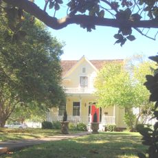
A. H. Chapman House
United States of America

A. H. Chapman House

16.2 mi
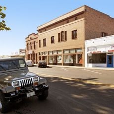
Silberstein Park Building
United States of America

Silberstein Park Building

16.7 mi
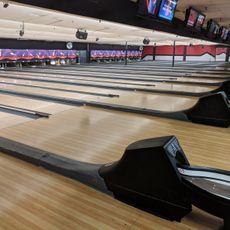
Bowlero
United States of America

Bowlero

18.7 mi
Museum of Northern California Art
United States of America

Museum of Northern California Art

17.3 mi
Oroville Carnegie Library
United States of America

Oroville Carnegie Library

5.5 mi
Arboreto de la Universidad de California Campus de Chico
United States of America

Arboreto de la Universidad de California Campus de Chico

17.3 mi
Oroville Chinese Temple
United States of America

Oroville Chinese Temple

5.4 mi
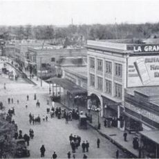
Oroville State Theatre
United States of America

Oroville State Theatre

5.6 mi
Senator Theatre
United States of America

Senator Theatre

16.6 mi
Show the full map
Reviews
Share your experience

No review yet

Discussions
Start a discussion...

No discussion yet

« Beatson Falls - Waterfall at Table Mountain, Butte County, California » is provided by Around Us (aroundus.com). Images and texts are derived from Wikimedia project under a Creative Commons license. You are allowed to copy, distribute, and modify copies of this page, under the conditions set by the license, as long as this note is clearly visible.

Discover hidden gems everywhere you go!

From secret cafés to breathtaking viewpoints, skip the crowded tourist spots and find places that match your style. Our app makes it easy with voice search, smart filtering, route optimization, and insider tips from travelers worldwide. Download now for the complete mobile experience.
Around Us App Screenshot

A unique approach to discovering new places

Le Figaro

All the places worth exploring

France Info

A tailor-made excursion in just a few clicks

20 Minutes

Around Us
Travel Guide & Maps
Download

Send to your phone

QR Code
1

Open the camera app on your mobile.

2

Point at the QR code with your camera. A notification will appear.

3

Tap the notification to open the link.