Enable Location

We need your location to show you interesting places around you

Discover nearby places

Find interesting locations and hidden gems around you

Precise directions

Get accurate directions and distances to places

Your location is never shared with other users. It's only used when you tap the location button.

Karviná

Log in to your account

Start exploring — it's free

Trusted by 61,397 travelers worldwide

Continue with Google
Continue with Apple
or

We will send you a code to connect

By continuing, you accept our Terms and Conditions and our Privacy Policy

Check your inbox

We've sent a pincode in your inbox. Please enter the code below.

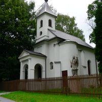
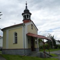
Karviná, Industrial municipality in Moravian-Silesian Region, Czech Republic

Description

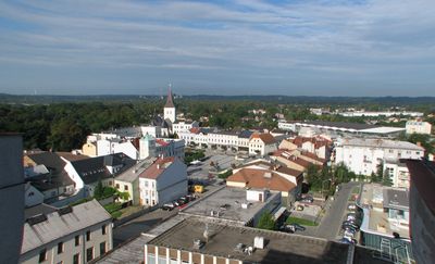
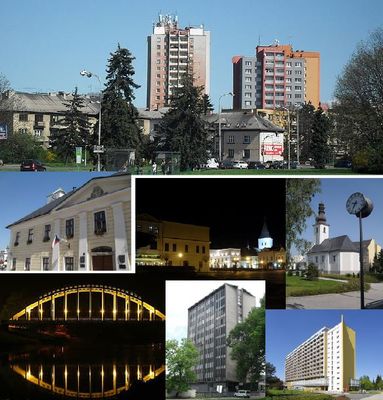
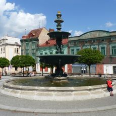
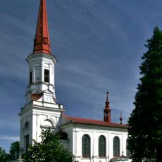
Karviná is a city in the Moravian-Silesian Region with nine districts spreading along the Olza River, centered on the historic Fryštát neighborhood. Green spaces and riverside landscapes define the town's character, connecting its urban layout with natural surroundings.

History

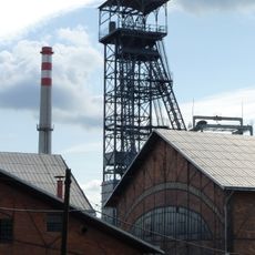
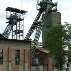
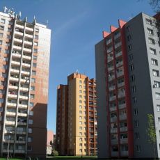
The settlement received its first documented mention in 1268 and gradually transformed from a trade center into a coal mining hub starting in the late 1700s. This industrial shift fundamentally reshaped the town's structure and economy for generations.

Culture

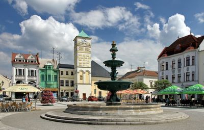
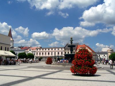
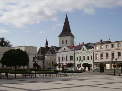
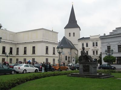
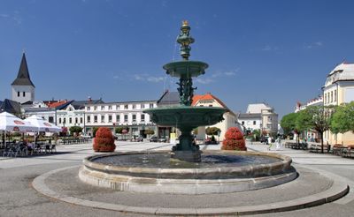
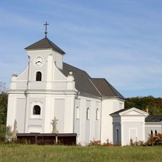
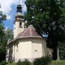
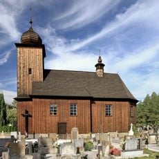
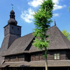
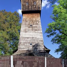
The old town of Fryštát with its narrow streets and historic facades reflects centuries of settlement along trade routes that brought communities together. Today, local shops and cafés animate these streets, where daily life unfolds against a backdrop of period architecture.

Practical

The best time to visit is during warmer months when riverside areas and parks fill with activity and recreation options expand. Most areas are easily walkable, and public transport connects the different neighborhoods efficiently.

Did you know?

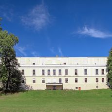
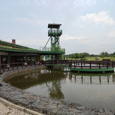
The Darkov spa draws naturally occurring mineral water rich in iodine and bromine from the Tertiary period deep underground. These thermal springs rank among the oldest known therapeutic baths in Central Europe.

Elevation above the sea
221 m
Reference
CZ0803598917
Shares border with
Havířov, Horní Suchá, Dětmarovice, Doubrava, Chotěbuz, Petrovice u Karviné, Albrechtice, Orlová, Stonava
GPS coordinates
49.85417,18.54278
Latest update
December 17, 2025 08:17

AroundUs brings together thousands of curated places, local tips, and hidden gems, enriched daily by 60,000 contributors worldwide. Discover all places nearby (Karviná District).

« Karviná - Industrial municipality in Moravian-Silesian Region, Czech Republic » is provided by Around Us (aroundus.com). Images and texts are derived from Wikimedia project under a Creative Commons license. You are allowed to copy, distribute, and modify copies of this page, under the conditions set by the license, as long as this note is clearly visible.

Discover hidden gems everywhere you go!

From secret cafés to breathtaking viewpoints, skip the crowded tourist spots and find places that match your style. Our app makes it easy with voice search, smart filtering, route optimization, and insider tips from travelers worldwide. Download now for the complete mobile experience.

Around Us App Screenshot

A unique approach to discovering new places

Le Figaro

All the places worth exploring

France Info

A tailor-made excursion in just a few clicks

20 Minutes

Around Us
Travel Guide & Maps
Download

Send to your phone

QR Code
1

Open the camera app on your mobile.

2

Point at the QR code with your camera. A notification will appear.

3

Tap the notification to open the link.