Karviná District, Administrative district in Moravian-Silesian Region, Czech Republic
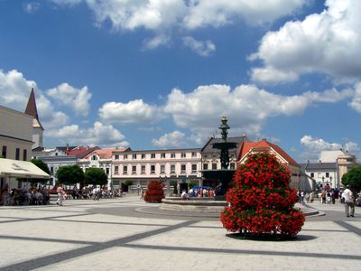
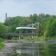
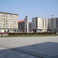
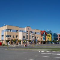
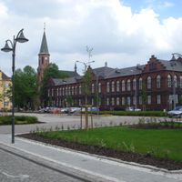
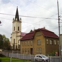
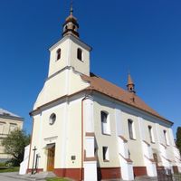
Karviná District is an administrative division in the Moravian-Silesian Region with flat terrain and several towns, Havířov being the largest. The area contains multiple municipalities and villages connected by roads and local transportation links.
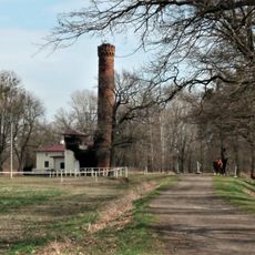
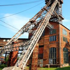
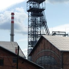
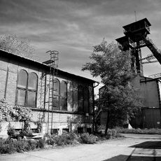
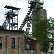
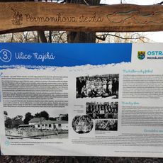
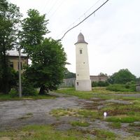
The area transformed dramatically in the late 1700s when coal deposits were discovered and mining became the main economic activity. This industrial shift shaped the towns and infrastructure that still stand today.
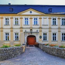
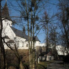
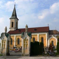
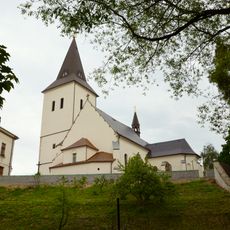
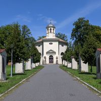
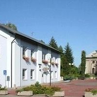
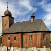
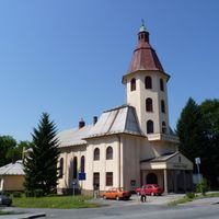
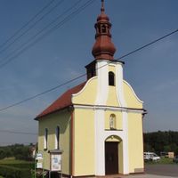
The area shows mixed Czech and Polish influences through its communities and local traditions, particularly noticeable in towns near the border. You can see this cultural mix in everyday life, local shops, and community events.
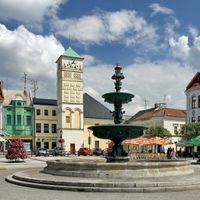
Major motorways like the D1 and D48 connect the district well to neighboring regions and the border, making travel by car straightforward. Individual towns have their own local services and centers, so exploring specific places is easy to navigate.
The Chotěbuz-Podobora Archeopark displays the long history of the area through reconstructed settlements from prehistoric times onward. The park gives visitors a direct look at how people lived in earlier periods across the region.
Location: Moravian-Silesian Region
Capital city: Karviná
Shares border with: Ostrava-City District, Opava District, Frýdek-Místek District, Cieszyn County
GPS coordinates: 49.85417,18.54278
Latest update: December 10, 2025 15:58
Wasserhebewerk Passek
17.5 km
Saint Nicholas Rotunda Church in Cieszyn
12.9 km
Ostrava Zoo
16.1 km
Saint Peter of Alcantara Church in Karviná-Doly
4.4 km
Palace in Chałupki
17.4 km
Těrlicko Reservoir
11.6 km
Three Brothers Well in Cieszyn
13.4 km
Michal Mine
14.2 km
Důl Barbora
6 km
Důl Petr Bezruč
16.9 km
Fryštát chateau
148 m
Důl Gabriela
4.2 km
Piast tower in Cieszyn
12.9 km
Żwirkowisko
10.2 km
Zamkowa mountain
13 km
Teatr im. Adama Mickiewicza
13.2 km
Church of the Nativity of the Virgin Mary in Orlová
8.1 km
Fryštát
147 m
John of Nepomuk Statue in Horní Domaslavice
17.6 km
Permoníkova naučná stezka
14.3 km
Chateau in Rychvald
13.7 km
Daňčí obora, Karviná
556 m
Church of Saint Lawrence
10.8 km
Church of the Exaltation of the Holy Cross in Fryštát
213 m
Church of Saint Mary Magdalene
4.3 km
Larischův altán
570 m
Protected area Dolní Marklovice
4.7 km
Town hall in Bohumín
14.4 kmVisited this place? Tap the stars to rate it and share your experience / photos with the community! Try now! You can cancel it anytime.
Karviná
Havířov
Český Těšín
Dolní Lutyně
Orlová
Petřvald
Horní Suchá
Bohumín
Doubrava
Albrechtice
Rychvald
Horní Bludovice
Dětmarovice
Chotěbuz
Petrovice u Karviné
Těrlicko
Stonava
správní obvod obce s rozšířenou působností Karviná
správní obvod obce s rozšířenou působností Bohumín
správní obvod obce s rozšířenou působností Orlová
správní obvod obce s rozšířenou působností Havířov
správní obvod obce s rozšířenou působností Český Těšín
Discover hidden gems everywhere you go!
From secret cafés to breathtaking viewpoints, skip the crowded tourist spots and find places that match your style. Our app makes it easy with voice search, smart filtering, route optimization, and insider tips from travelers worldwide. Download now for the complete mobile experience.
A unique approach to discovering new places❞
— Le Figaro
All the places worth exploring❞
— France Info
A tailor-made excursion in just a few clicks❞
— 20 Minutes