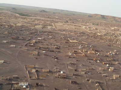
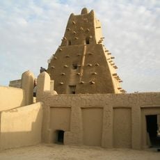
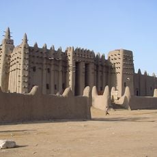
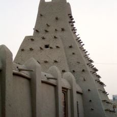
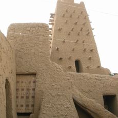
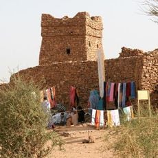
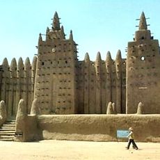
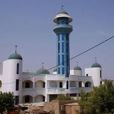
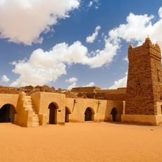
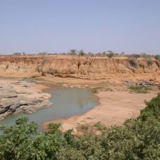
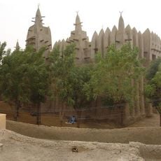
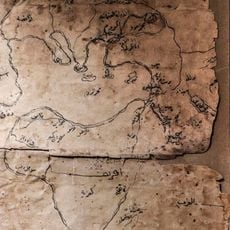
Hodh Ech Chargui Region, region in eastern Mauritania
Location: Mauritania
Capital city: Néma
Elevation above the sea: 306 m
GPS coordinates: 19.00000,-7.25000
Latest update: March 4, 2025 10:05
Timbuktu
514 km
Richat Structure
494.3 km
Great Mosque of Djenné
635.9 km
Sankore Madrasah
513.3 km
Djinguereber Mosque
513.1 km
Chinguetti
559.5 km
Ouadane
505.4 km
Djenné-Djenno
638.1 km
Bandiagara Escarpment
660.3 km
Sidi Yahya Mosque
513.3 km
Kediet ej Jill
687.2 km
Ben Amera
714.9 km
Chinguetti Mosque
560.3 km
Aoukar Depression
262.3 km
Bamako Grand Mosque
711.7 km
Boucle du Baoulé National Park
574.4 km
Ancient Ksour of Ouadane, Chinguetti, Tichitt and Oualata
505.4 km
Terjit
628.5 km
Ounjougou
647.6 km
Gouina Falls
690.6 km
Old Towns of Djenné
635.8 km
Mopti Grand Mosque
597.9 km
Félou Falls
676.6 km
Zoo Bamako
709.8 km
Museum of Ouadane
505.4 km
Museo Nacional
710.5 km
Talari Gorges
703.3 km
Great Mosque of Niono
545.2 kmReviews
Visited this place? Tap the stars to rate it and share your experience / photos with the community! Try now! You can cancel it anytime.
Discover hidden gems everywhere you go!
From secret cafés to breathtaking viewpoints, skip the crowded tourist spots and find places that match your style. Our app makes it easy with voice search, smart filtering, route optimization, and insider tips from travelers worldwide. Download now for the complete mobile experience.
A unique approach to discovering new places❞
— Le Figaro
All the places worth exploring❞
— France Info
A tailor-made excursion in just a few clicks❞
— 20 Minutes