Atacama Region, Administrative region in northern Chile.
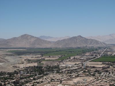
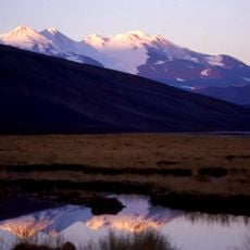
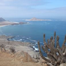
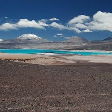
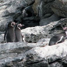
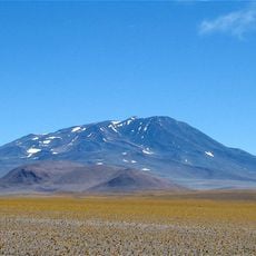
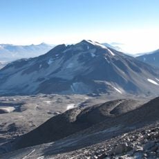
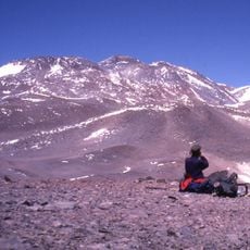
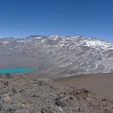
The Atacama Region sits in northern Chile and covers three provinces from the Pacific coast to the Andean highlands. The terrain shifts between barren coastal strips, wide valleys and high mountain ranges, while parts of the driest desert on Earth shape the interior landscape.
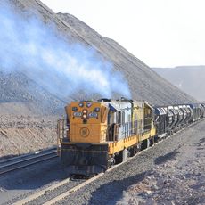
Silver discoveries at Chañarcillo in 1832 brought miners and merchants into the remote valleys and triggered a mining rush. The opening of iron and copper deposits in the late 19th century changed the economy permanently and encouraged the development of ports and connecting roads.
The native Diaguita and Chango peoples established the first settlements in the region, developing specialized techniques for desert agriculture and mineral extraction.
The Pan-American Highway crosses the administrative area and connects cities like Copiapó and Vallenar with the rest of the country. Travelers should carry water supplies and be prepared for long stretches between fuel stations and supply points.
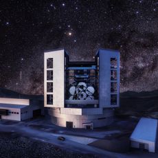
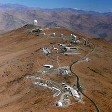
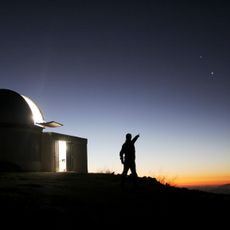
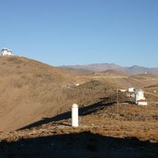
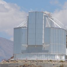
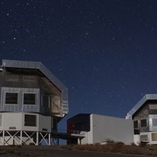
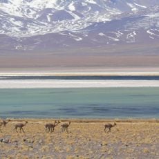
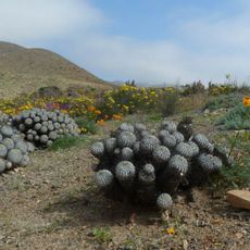
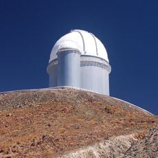
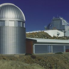
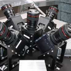
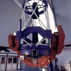
Observatories use the clear air and low light pollution for astronomical observations possible at few places worldwide. Flowering desert sections transform into colorful carpets of wildflowers for a short time after rare rainfalls.
Location: Chile
Capital city: Montevideo
Elevation above the sea: 1,800 m
Reference: III
Part of: South America Midwest Integrated Zone
Shares border with: Antofagasta Region, Coquimbo Region, Catamarca Province, La Rioja Province, San Juan Province
Website: http://goreatacama.cl
GPS coordinates: -27.36667,-70.33222
Latest update: December 12, 2025 22:56
Ojos del Salado
179.5 km
Giant Magellan Telescope
190.3 km
La Silla Observatory
214.2 km
Monte Pissis
157.3 km
Estadio El Cobre
142.4 km
Reserva provincial Laguna Brava
168.3 km
Pan de Azúcar National Park
146.3 km
TRAPPIST
213.9 km
Incahuasi
205 km
Observatorio Las Campanas
187.3 km
New Technology Telescope
214.3 km
Pingüino de Humboldt National Reserve
240.9 km
Magellan Telescopes
186.8 km
Cerro Bonete
132 km
Nevado Tres Cruces National Park
133.5 km
Estadio Luis Valenzuela Hermosilla
1.6 km
Llanos de Challe National Park
109.2 km
ESO 3.6 m Telescope
214.5 km
Cerro El Muerto
186.1 km
Leonhard Euler Telescope
214.3 km
Tipas
176.7 kmAta volcano
175.2 km
Mina Los Colorados
113.2 km
Museo Regional de Atacama
864 m
MASCARA
214.2 km
Sierra Nevada de Lagunas Bravas
198.6 km
MPG/ESO telescope
214.2 km
Copiapó Cathedral
108 mVisited this place? Tap the stars to rate it and share your experience / photos with the community! Try now! You can cancel it anytime.
Discover hidden gems everywhere you go!
From secret cafés to breathtaking viewpoints, skip the crowded tourist spots and find places that match your style. Our app makes it easy with voice search, smart filtering, route optimization, and insider tips from travelers worldwide. Download now for the complete mobile experience.
A unique approach to discovering new places❞
— Le Figaro
All the places worth exploring❞
— France Info
A tailor-made excursion in just a few clicks❞
— 20 Minutes