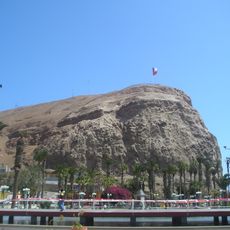
Alameda Bolognesi, Cultural heritage avenue in Tacna, Peru.
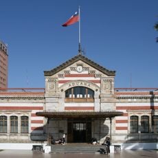
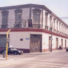
Alameda Bolognesi is a tree-lined avenue stretching through central Tacna, connecting different parts of the city with its wide pathway. Commercial buildings and establishments line both sides, creating a busy corridor where locals and visitors move throughout the day.
Construction of the avenue began in 1840 when prefect Manuel de Mendiburu oversaw its development over the Caplina River streambed. The avenue received its current name in 1929 following Peru's recovery of administrative control over the region.
The avenue is named after Peruvian general Felipe Santiago Bolognesi, symbolizing Peru's reclamation of control over the city. This naming choice reflects the significance of territorial restoration in the local community's identity.
The avenue provides wide pathways for walking and shopping, with clear landmarks that make navigation straightforward. Its central location makes it easy to access from most parts of the city and serves as a natural reference point.
The Caplina River flows in a hidden channel beneath the avenue, an invisible presence that many visitors overlook. This waterway was central to the avenue's original construction and remains an integral part of the city's infrastructure.
The community of curious travelers
AroundUs brings together thousands of curated places, local tips, and hidden gems, enriched daily by 60,000 contributors worldwide.