Enable Location

We need your location to show you interesting places around you

Discover nearby places

Find interesting locations and hidden gems around you

Precise directions

Get accurate directions and distances to places

Your location is never shared with other users. It's only used when you tap the location button.

Log in to your account

Start exploring — it's free

Trusted by 61,922 travelers worldwide

Continue with Google
Continue with Apple
or

We will send you a code to connect

By continuing, you accept our Terms and Conditions and our Privacy Policy

Check your inbox

We've sent a pincode in your inbox. Please enter the code below.

Huacho District

Huacho District, Administrative district in Huaura Province, Peru.

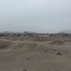
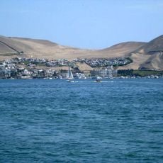
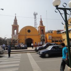
Huacho District is an administrative district in Huaura Province on Peru's northern coast. The territory spreads across flat terrain near the Pacific with several coastal settlements and agricultural areas.

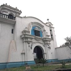
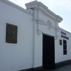
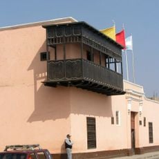
The area was originally an indigenous settlement that received its official name in 1571 as part of Spanish colonial administration. This establishment marked the beginning of a new administrative structure in the region.

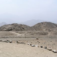
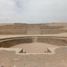
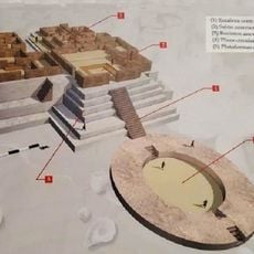
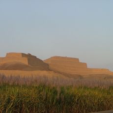
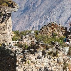
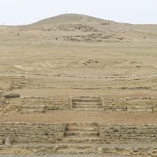
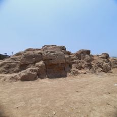
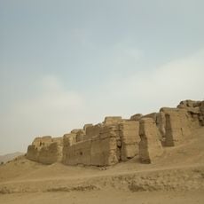
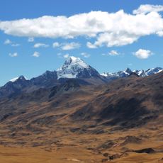
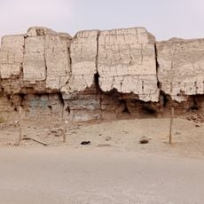
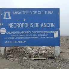
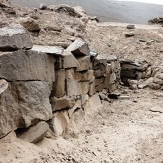
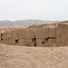
The area holds remains from pre-colonial times that show how early inhabitants lived and organized themselves. You can see traces of settlements that existed long before Spanish arrival.

The area sits in a time zone that aligns with other coastal regions of Peru. Visitors should prepare for flat terrain and proximity to the ocean when exploring the district.

The Bandurria archaeological site shows that people lived and fished here in very ancient times. These locations rank among the oldest coastal settlements of South America.

The community of curious travelers

AroundUs brings together thousands of curated places, local tips, and hidden gems, enriched daily by 60,000 contributors worldwide.

Start exploring
Location
Capital city
Huacho
Elevation above the sea
30 m
Shares border with
Chancay District, Hualmay District, Santa María District, Sayán District, Huaral District
GPS coordinates
-11.10667,-77.60500
Latest update
December 7, 2025 20:50
« Huacho District - Administrative district in Huaura Province, Peru » is provided by Around Us (aroundus.com). Images and texts are derived from Wikimedia project under a Creative Commons license. You are allowed to copy, distribute, and modify copies of this page, under the conditions set by the license, as long as this note is clearly visible.

Discover hidden gems everywhere you go!

From secret cafés to breathtaking viewpoints, skip the crowded tourist spots and find places that match your style. Our app makes it easy with voice search, smart filtering, route optimization, and insider tips from travelers worldwide. Download now for the complete mobile experience.

Around Us App Screenshot

A unique approach to discovering new places

Le Figaro

All the places worth exploring

France Info

A tailor-made excursion in just a few clicks

20 Minutes

Around Us
Travel Guide & Maps
Download

Send to your phone

QR Code
1

Open the camera app on your mobile.

2

Point at the QR code with your camera. A notification will appear.

3

Tap the notification to open the link.