Enable Location

We need your location to show you interesting places around you

Discover nearby places

Find interesting locations and hidden gems around you

Precise directions

Get accurate directions and distances to places

Your location is never shared with other users. It's only used when you tap the location button.

Chala District

Log in to your account

Start exploring — it's free

Trusted by 61,640 travelers worldwide

Continue with Google
Continue with Apple
or

We will send you a code to connect

By continuing, you accept our Terms and Conditions and our Privacy Policy

Check your inbox

We've sent a pincode in your inbox. Please enter the code below.

Chala District, Administrative district in Caravelí Province, Peru.

Description

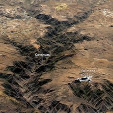
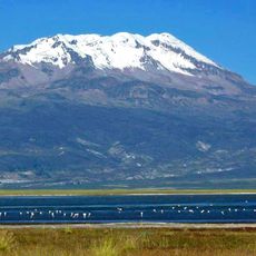
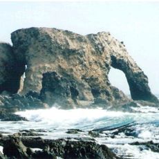
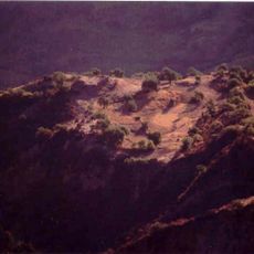
Chala District is an administrative area along Peru's Pacific coast that combines desert landscapes with maritime regions. The territory covers a substantial area and features varied natural environments at low elevation near the ocean.

History

This district was officially founded in the 19th century as a territorial division and experienced the transformations that shaped Peru during that era. Its establishment occurred within a period when the nation was reorganizing its administrative structure.

Culture

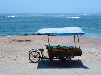
The people who live here work closely with the sea and maintain customs tied to fishing and local celebrations. You notice how daily life revolves around maritime traditions and the connection between the community and the ocean.

Practical

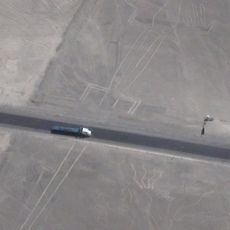
The Panamerican Highway passes through this area and connects it to other cities in Peru. You can explore the district most easily by car, as it sits along the main coastal route.

Did you know?

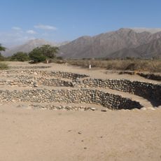
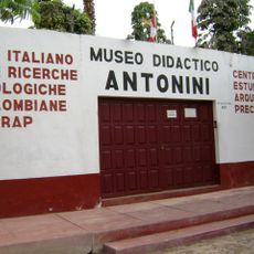
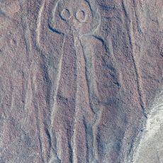
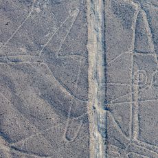
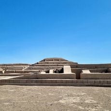
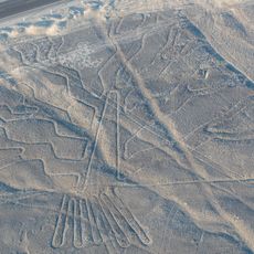
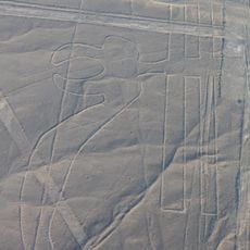
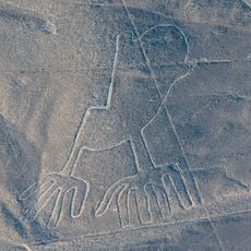
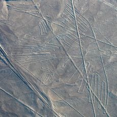
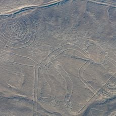
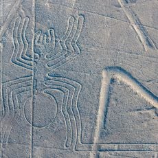
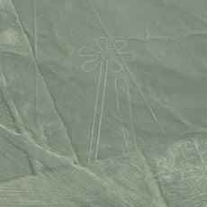
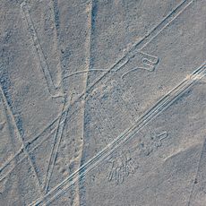
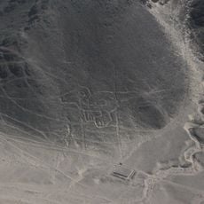
Within this district lie archaeological remains from the Inca period, representing some of the rare examples of that era found along the coast. These sites reveal how Inca presence extended to the seashore, not only to highland areas.

Capital city
Chala
Elevation above the sea
18 m
Shares border with
Atiquipa District, Huanuhuanu District, Chaparra District
GPS coordinates
-15.84774,-74.24962
Latest update
December 7, 2025 19:27

AroundUs brings together thousands of curated places, local tips, and hidden gems, enriched daily by 60,000 contributors worldwide. Discover all places nearby (Caravelí Province).

« Chala District - Administrative district in Caravelí Province, Peru » is provided by Around Us (aroundus.com). Images and texts are derived from Wikimedia project under a Creative Commons license. You are allowed to copy, distribute, and modify copies of this page, under the conditions set by the license, as long as this note is clearly visible.

Discover hidden gems everywhere you go!

From secret cafés to breathtaking viewpoints, skip the crowded tourist spots and find places that match your style. Our app makes it easy with voice search, smart filtering, route optimization, and insider tips from travelers worldwide. Download now for the complete mobile experience.

Around Us App Screenshot

A unique approach to discovering new places

Le Figaro

All the places worth exploring

France Info

A tailor-made excursion in just a few clicks

20 Minutes

Around Us
Travel Guide & Maps
Download

Send to your phone

QR Code
1

Open the camera app on your mobile.

2

Point at the QR code with your camera. A notification will appear.

3

Tap the notification to open the link.