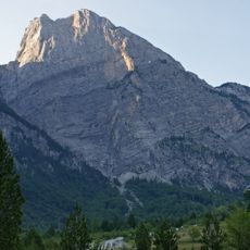
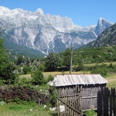
Theth, human settlement in Albania
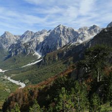
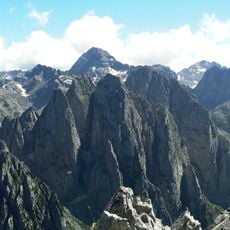
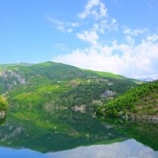
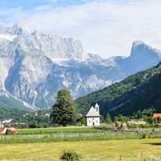
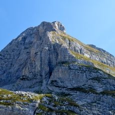
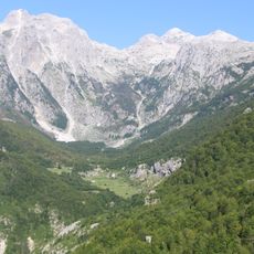
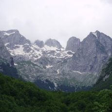
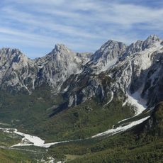
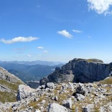
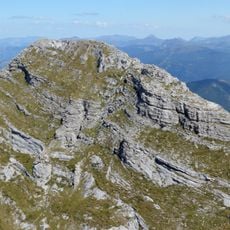
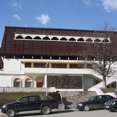
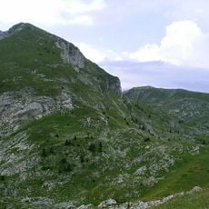
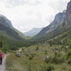
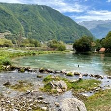
Theth is a small village in the Albanian Alps surrounded by steep mountain peaks, dense forests, and green meadows filled with wildflowers. It features stone houses with wooden roofs, a church dating to the 1800s, and quiet streets running alongside a river through the village center.
Theth was first documented in written records from the late 1400s as a settlement established to maintain local traditions during foreign rule. The village remained isolated for centuries, allowing old ways and customs to survive unchanged in the mountain environment.
The name Theth reflects its remote mountain setting passed down through generations of local tradition. Residents maintain old customs visible during celebrations, including traditional dress and communal gatherings that keep folk practices alive within daily village life.
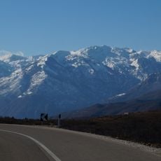
The road to Theth was paved in 2022, making it accessible by regular cars from nearby Shkoder in less than an hour. Bring cash since most local services do not accept card payments, and wear proper hiking shoes if you plan to explore the surrounding trails and waterfalls.
The village features a Reconciliation Tower, a traditional structure with special meaning in local conflict resolution customs and legal practices. This rare example of ancient social systems remains active in the isolated community and reflects how old traditions shape daily governance.
The community of curious travelers
AroundUs brings together thousands of curated places, local tips, and hidden gems, enriched daily by 60,000 contributors worldwide.