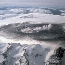
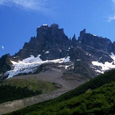
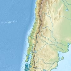
Monte Zeballos, Andean mountain in Santa Cruz Province, Argentina.
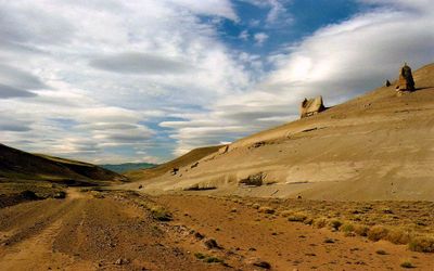
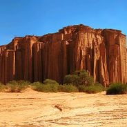
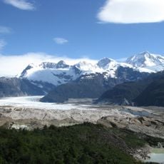
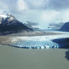
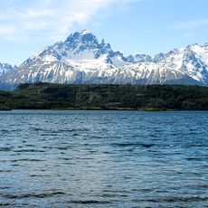
Monte Zeballos is a mountain in Santa Cruz Province that rises to 2743 meters as part of the eastern Andes range. The peak features reddish slopes with volcanic rock formations set within sparse, open terrain.
The mountain is named after Estanislao Zeballos, an Argentine geographer who founded the Geographic Institute and explored the Patagonian region. His work advanced the understanding and mapping of this remote area.
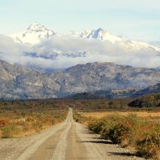
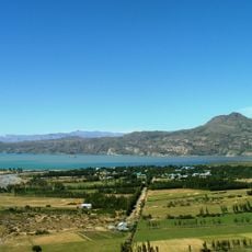
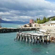
The area around the mountain shows traditional Patagonian landscapes visible from Provincial Route 41, which connects remote settlements in the region. Visitors notice how the terrain shapes local life and travel patterns across this sparse terrain.
The mountain area is most accessible from December to April when weather provides good visibility and gravel roads are safer to travel. These months offer the most stable conditions for exploring the region.
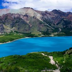
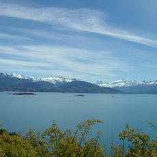
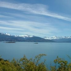
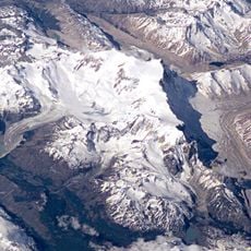
Three major rivers originate from the slopes of this mountain: Río Los Zaballos, Río Los Antiguos, and Río Pinturas, eventually flowing into Lake Buenos Aires and Río Deseado. These waterways shape the hydrology of the entire region.
Location: Santa Cruz
GPS coordinates: -47.02542,-71.69917
Latest update: December 6, 2025 17:47
Patagonia extends across the southern reaches of Chile and Argentina, encompassing a range of natural landscapes from active glaciers to volcanic peaks. The region presents a mixture of ice, stone and water, with national parks protecting thousands of square miles of undeveloped terrain. The land...
Cueva de las Manos
80.4 km
Carretera Austral
152.8 km
Catedral de Mármol
81.2 km
Perito Moreno National Park
96.9 km
Balmaceda, Chile
124.2 km
Patagonia National Park
44.3 km
Mount Hudson
153.1 km
Puerto Río Tranquilo
86.8 km
Laguna San Rafael National Park
145.3 km
Northern Patagonian Ice Field
136.7 km
Puerto Ingeniero Ibáñez
83.7 km
Cerro San Lorenzo
78.2 km
Parque Nacional Cerro Castillo
114.7 km
Monte San Valentin
134.2 km
Villa Cerro Castillo
106.4 km
Exploradores Glacier
126.3 km
Nef Glacier
118.9 km
Campamento minero Puerto Cristal
73.7 km
Lago Jeinimeni National Reserve
33.1 km
Lago Cochrane Nature Reserve
57.8 km
Arenales
135.5 km
Colonia Glacier
122.7 km
Calluqueo Glacier
83.2 km
Bodegas portuarias del río Ibáñez
83.2 km
Leones Glacier
119.3 km
Museo De Arqueología Carlos Gradin
76.2 km
Grosse Glacier
142.8 km
Glaciar Exploradores
125.1 kmVisited this place? Tap the stars to rate it and share your experience / photos with the community! Try now! You can cancel it anytime.
Discover hidden gems everywhere you go!
From secret cafés to breathtaking viewpoints, skip the crowded tourist spots and find places that match your style. Our app makes it easy with voice search, smart filtering, route optimization, and insider tips from travelers worldwide. Download now for the complete mobile experience.
A unique approach to discovering new places❞
— Le Figaro
All the places worth exploring❞
— France Info
A tailor-made excursion in just a few clicks❞
— 20 Minutes