
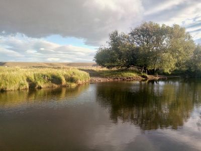
Languiñeo Department, department of Argentina
Location: Chubut Province
Inception: June 11, 1921
Capital city: Tecka
Elevation above the sea: 929 m
GPS coordinates: -43.46667,-70.78333
Latest update: March 3, 2025 20:24
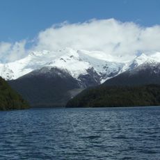
Los Alerces National Park
116.6 km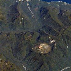
Chaitén
166.8 km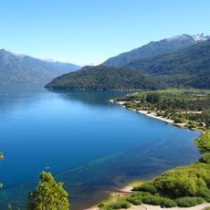
Lago Puelo National Park
160.6 km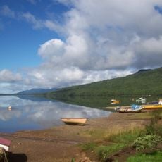
Puyuhuapi
171.5 km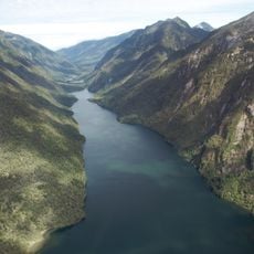
Pumalín Park
170.5 km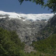
Queulat National Park
166.3 km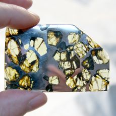
Esquel (meteorite)
77.3 km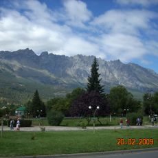
Cerro Piltriquitrón
173.9 km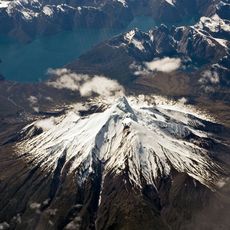
Corcovado Volcano
165.6 km
Cañadón Asfalto Formation
128.2 km
Corcovado National Park
156.4 km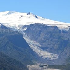
Michinmahuida
154 km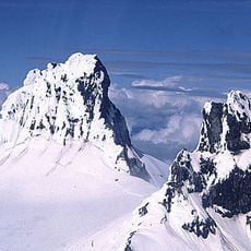
Cerro Melimoyu
180.1 km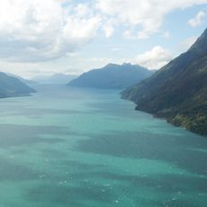
Comau Fjord
183 km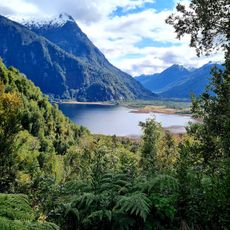
Parque Nacional Pumalín
146.6 km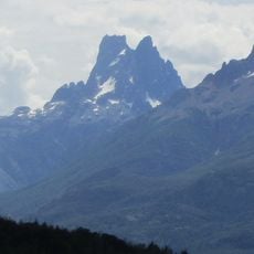
Cerro Dos Picos
147.5 km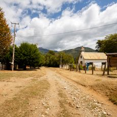
Segundo Corral
178.2 km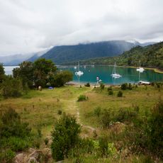
Porcelana (Chile)
176 km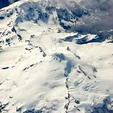
Yanteles
164 km
Cerro Currumahuida
155.7 km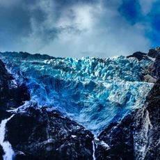
Queulat Glaciers
174.2 km
Casa Ludwig
171.1 km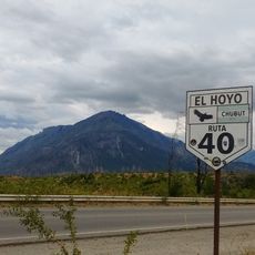
Cerro Pirque provincial park
157.4 km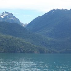
Cerro Aguja Sur
168.7 km
Cerro Situación
91.2 km
Capel Bethel, Trevelin
69.5 km
Palena Volcanic Group
140.3 km
Predio donde se encuentra el monumento conmemorativo del Cacique Casimiro Biguá
69.8 kmReviews
Visited this place? Tap the stars to rate it and share your experience / photos with the community! Try now! You can cancel it anytime.
Discover hidden gems everywhere you go!
From secret cafés to breathtaking viewpoints, skip the crowded tourist spots and find places that match your style. Our app makes it easy with voice search, smart filtering, route optimization, and insider tips from travelers worldwide. Download now for the complete mobile experience.

A unique approach to discovering new places❞
— Le Figaro
All the places worth exploring❞
— France Info
A tailor-made excursion in just a few clicks❞
— 20 Minutes