
Los Alerces National Park
Los Alerces National Park, National park in Chubut Province, Argentina.
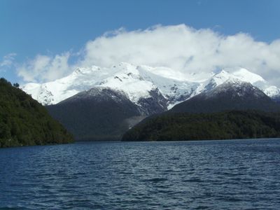
Los Alerces National Park spans 2,500 square kilometers across the Patagonian Andes, featuring mountains, glacial lakes, rivers, and dense temperate forests.
The Argentine government established this protected area in 1937 to safeguard the ancient Fitzroya cupressoides trees, which can survive for more than 3,600 years.
The Mapuche people named these millennial trees 'lahuan' and maintained deep connections with the forests of this region through generations.
Visitors access the park through the nearby town of Esquel, with summer months from December to March offering optimal conditions for hiking and camping.
The park contains Argentina's largest recorded alerce tree, measuring 57 meters in height, accessible by boat from Puerto Sagrario at Lake Menendez.
Location: Chubut Province
Location: Futaleufú Department
Inception: 1937
Elevation above the sea: 827 m
Operator: Administración Parques Nacionales
Website: https://parquesnacionales.gob.ar/areas-protegidas/region-patagonia/pn-los-alerces
GPS coordinates: -42.80750,-71.89889
Latest update: May 26, 2025 21:53

Argentina extends across multiple climate zones and contains numerous geological formations. The country encompasses high mountain ranges in the Andes, salt flats in the northwest, rock formations in Patagonia, and extensive grasslands. These areas display the region's geological history and the adaptation of human settlements to different environments. The sites include volcanic craters, thermal springs, canyons, and historic villages. Many of these locations lie away from main routes and require several hours of travel. The regions document pre-Columbian cultures, colonial history, and traditional ways of life that continue today.
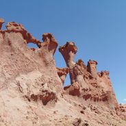
The Argentine landscape contains canyons, salt flats and wetlands. The Jaramillo Petrified Forest holds prehistoric fossils. Red sandstone cliffs rise in Quebrada de las Conchas. The national parks contain lakes, mountains and archaeological sites of indigenous peoples. The Esteros del Iberá provide habitat for caimans and capybaras.
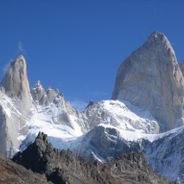
Patagonia displays glaciers, lakes and mountains. This region offers natural landscapes with ancient forests, ice formations and peaks. The locations spread across an area between Chile and Argentina, with national parks, waterfalls and geological formations.
Chaitén
61.2 km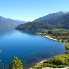
Lago Puelo National Park
71.7 km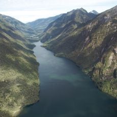
Pumalín Park
54.8 km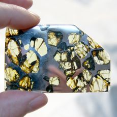
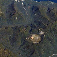
Esquel (meteorite)
47.3 km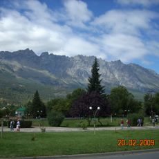
Cerro Piltriquitrón
98.4 km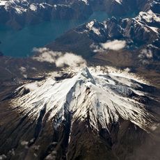
Corcovado Volcano
84.6 km
Corcovado National Park
94.9 km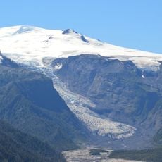
Michinmahuida
44.6 km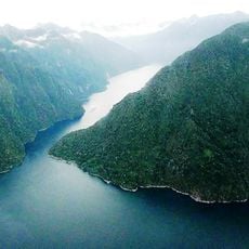
Quintupeu Fjord
82 km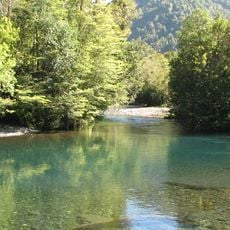
Hornopirén National Park
106.3 km
Hornopirén
112.3 km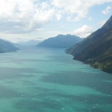
Comau Fjord
66.7 km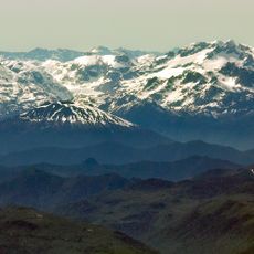
Volcán Apagado
117.6 km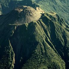
Volcán Huequi
73.3 km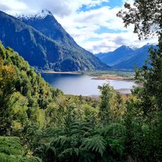
Parque Nacional Pumalín
52.3 km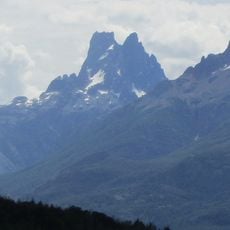
Cerro Dos Picos
41 km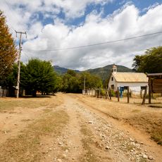
Segundo Corral
81.5 km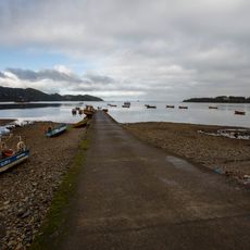
Caleta El Manzano
107.7 km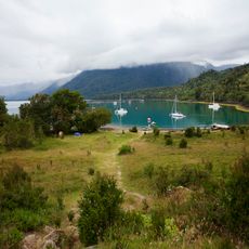
Porcelana (Chile)
59.4 km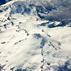
Yanteles
107.3 km
Cerro Pirque provincial park
80.7 km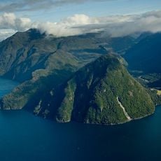
Reñihué Fjord
67.6 km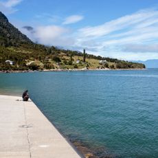
Caleta Pichanco
87.9 km
Hualaihué Puerto
108.6 km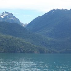
Cerro Aguja Sur
72 km
Capel Bethel, Trevelin
47.2 km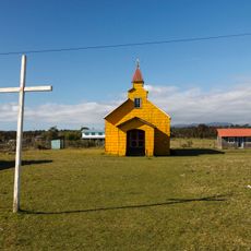
Lleguimán
115.7 km
Palena Volcanic Group
117.7 kmReviews
Visited this place? Tap the stars to rate it and share your experience / photos with the community! Try now! You can cancel it anytime.
Discover hidden gems everywhere you go!
From secret cafés to breathtaking viewpoints, skip the crowded tourist spots and find places that match your style. Our app makes it easy with voice search, smart filtering, route optimization, and insider tips from travelers worldwide. Download now for the complete mobile experience.

A unique approach to discovering new places❞
— Le Figaro
All the places worth exploring❞
— France Info
A tailor-made excursion in just a few clicks❞
— 20 Minutes