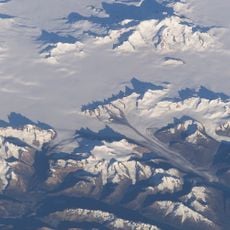
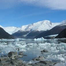
Onelli Bay, Bay in Lago Argentino Department, Argentina
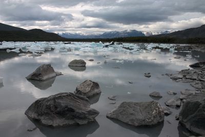
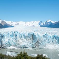
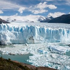
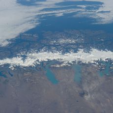
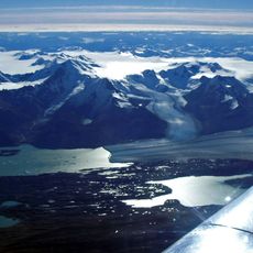
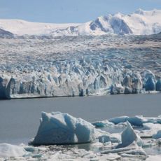
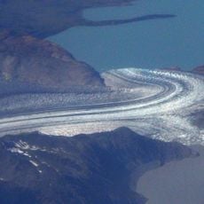
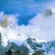
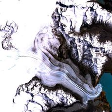
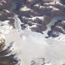
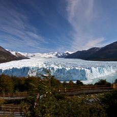
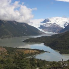
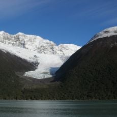
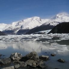
Onelli Bay is a body of water in southern Patagonia that receives meltwater from several glaciers including Onelli, Agassiz, Bolados, and Heim. The water flowing from these different sources creates a layered system visible in the bay's color and movement patterns.
The location was originally called Puerto de las Vacas, a name referring to wild cattle that once roamed the surrounding plains. It was later renamed after an Italian explorer who studied the region.
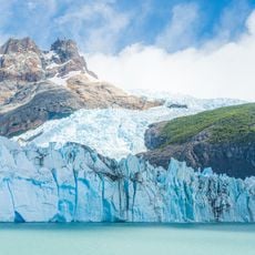
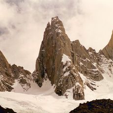
The bay is named after an Italian naturalist and draws visitors interested in glaciers and surrounding forests. It sits within a protected area dedicated to preserving the natural landscape.
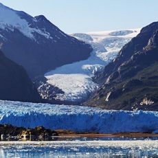
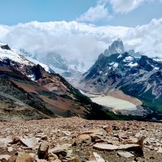
The bay is best reached by boat tour departing from Puerto Bandera in El Calafate, which passes several other glaciers along the way. The journey offers good viewing points and allows you to observe the water systems up close.
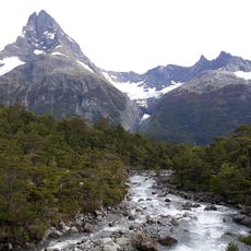
The bay borders a Patagonian forest containing native tree species such as ñires, canelos, and lengas, creating a distinct ecological environment. These forest types are uncommon in the region and reveal the landscape's diversity beyond its glaciers.
The community of curious travelers
AroundUs brings together thousands of curated places, local tips, and hidden gems, enriched daily by 60,000 contributors worldwide.