
Distrito Río Barrancas
Location: Malargüe Department
GPS coordinates: -36.81670,-69.46670
Latest update: March 18, 2025 07:25
Pincheira brothers
139.2 km
Reserva Provincial La Payunia
50.2 km
Nevados de Chillán
173.1 km
Domuyo
88.4 km
Pierre Auger Observatory
179.7 km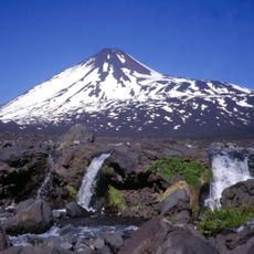
Antuco
179.9 km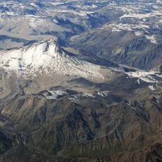
Cerro Azul
173.8 km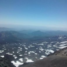
Volcán Nuevo
170.4 km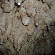
Witches' Cave
117.5 km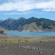
Laguna del Laja National Park
181.2 km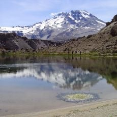
Descabezado Grande
178.4 km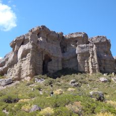
Reserva Provincial Castillos de Pincheira
147.9 km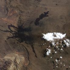
Payun Matru
48.4 km
Tromen
63.1 km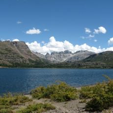
Lagunas de Epulafquen
139.2 km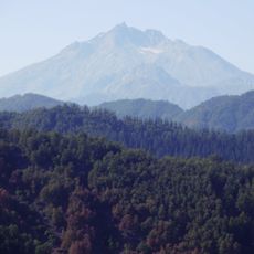
Nevado de Longaví
166.8 km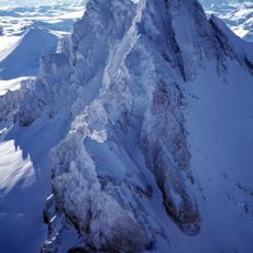
Sierra Velluda
187.3 km
Los Huemules de Niblinto National Reserve
181.4 km
Colapso del lago Cari Lauquen
70.3 km
Los Bellotos del Melado National Reserve
181.6 km
Ñuble National Reserve
182.3 km
Parque provincial El Tromen
64.3 km
Parque provincial Copahue
172.6 km
Payún Liso
37.8 km
Serranía El Peralito
139.6 km
Cochiquito Volcanic Group
35.3 km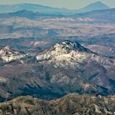
San Pedro de Tarara
154.3 km
Lomas Blancas
149.8 kmReviews
Visited this place? Tap the stars to rate it and share your experience / photos with the community! Try now! You can cancel it anytime.
Discover hidden gems everywhere you go!
From secret cafés to breathtaking viewpoints, skip the crowded tourist spots and find places that match your style. Our app makes it easy with voice search, smart filtering, route optimization, and insider tips from travelers worldwide. Download now for the complete mobile experience.

A unique approach to discovering new places❞
— Le Figaro
All the places worth exploring❞
— France Info
A tailor-made excursion in just a few clicks❞
— 20 Minutes