Parc provincial Copahue, Protected natural area near Caviahue, Argentina
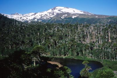
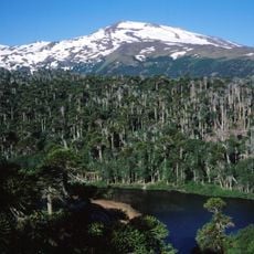
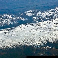
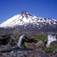
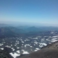
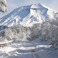
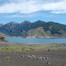
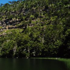
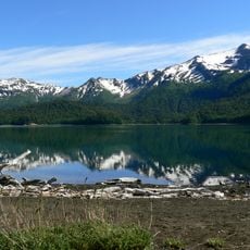
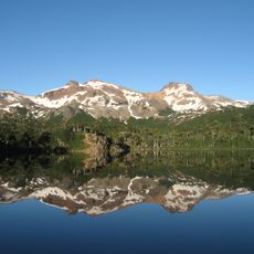
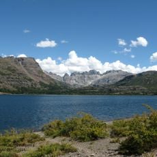
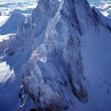
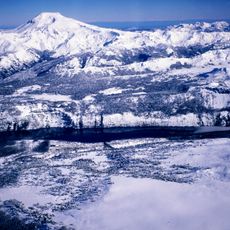
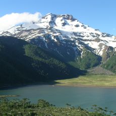
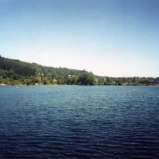
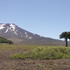
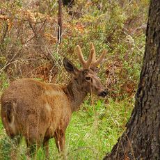
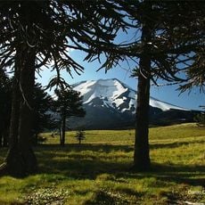
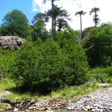
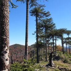
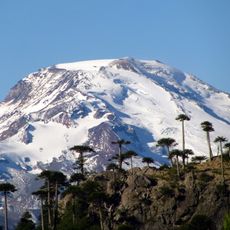
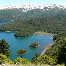
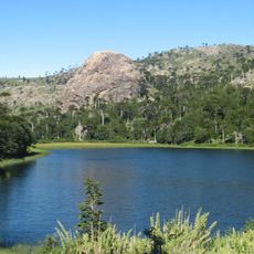
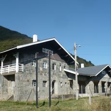
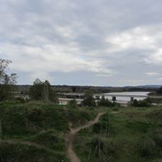
Parque Provincial Copahue is a protected area in Neuquén province covering thousands of hectares with volcanic landscapes, thermal springs, waterfalls, and dense Araucaria forests. The elevation changes significantly from lower regions to high peaks, creating different zones of vegetation and terrain.
The area was established as a nature reserve in 1937 with national protection status and later transferred to provincial management. This change in administration helped to ensure long-term protection of the local ecosystems.
The name comes from the Mapudungun language meaning sulfurous waters, reflecting the thermal springs that have been valued by people living in this region for generations. The place holds meaning for local communities because of these natural hot waters that flow from the earth.
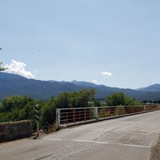
You can reach the area by vehicle using different route options depending on where you are coming from. It helps to have reliable transportation and check road conditions beforehand, especially during winter months.
This place is home to the northernmost Araucaria forests found in the country, a tree species that grows in only a few regions of South America. An active volcano here creates the thermal waters that have gained recognition from international health organizations.
The community of curious travelers
AroundUs brings together thousands of curated places, local tips, and hidden gems, enriched daily by 60,000 contributors worldwide.